Cof Cymru: National Historic Assets of Wales · Wales
Argoed Mill Gallery
Nantmel, Powys, Wales
A Grade II listed building in Doldowlod, Nantmel, Powys, designated on 28 February 2005.
The record
- Designation
- Listed building, Grade II
- Broad class
- No class recorded
- Date of designation
- 28 February 2005
- Locality
- Doldowlod
- Community
- Nantmel
- Unitary authority
- Powys
- Country
- Wales
- Coordinates
- 52.25490, -3.47309
- Cadw reference
- 84104
Slide toward Today to fade the historical sheet and see the modern map underneath.
David Rumsey Map Collection, Stanford LibrariesDavid Rumsey Map Collection, Stanford LibrariesDavid Rumsey Map Collection, Stanford LibrariesDavid Rumsey Map Collection, Stanford LibrariesDavid Rumsey Map Collection, Stanford Libraries
5 historical maps cover this location, the earliest the 1608 map "(13) Cambriae Typus." (David Rumsey Map Collection, Stanford Libraries).
Historical maps covering this location
- 1608 · (13) Cambriae Typus. (David Rumsey Map Collection, Stanford Libraries)
- 1637 · Particular description of Wales. Cambria seu Wallia (David Rumsey Map Collection, Stanford Libraries)
- 1883 · Watershed map England, Wales 3. (David Rumsey Map Collection, Stanford Libraries)
- 1898 · 179 Rhyader (Hills) (David Rumsey Map Collection, Stanford Libraries)
- 1901 · Sheet 14. (David Rumsey Map Collection, Stanford Libraries)
Cadw's description
Location
Set back on the NE side of the A470 at Argoed, approximately 5.7km SSE of Rhayader.
History
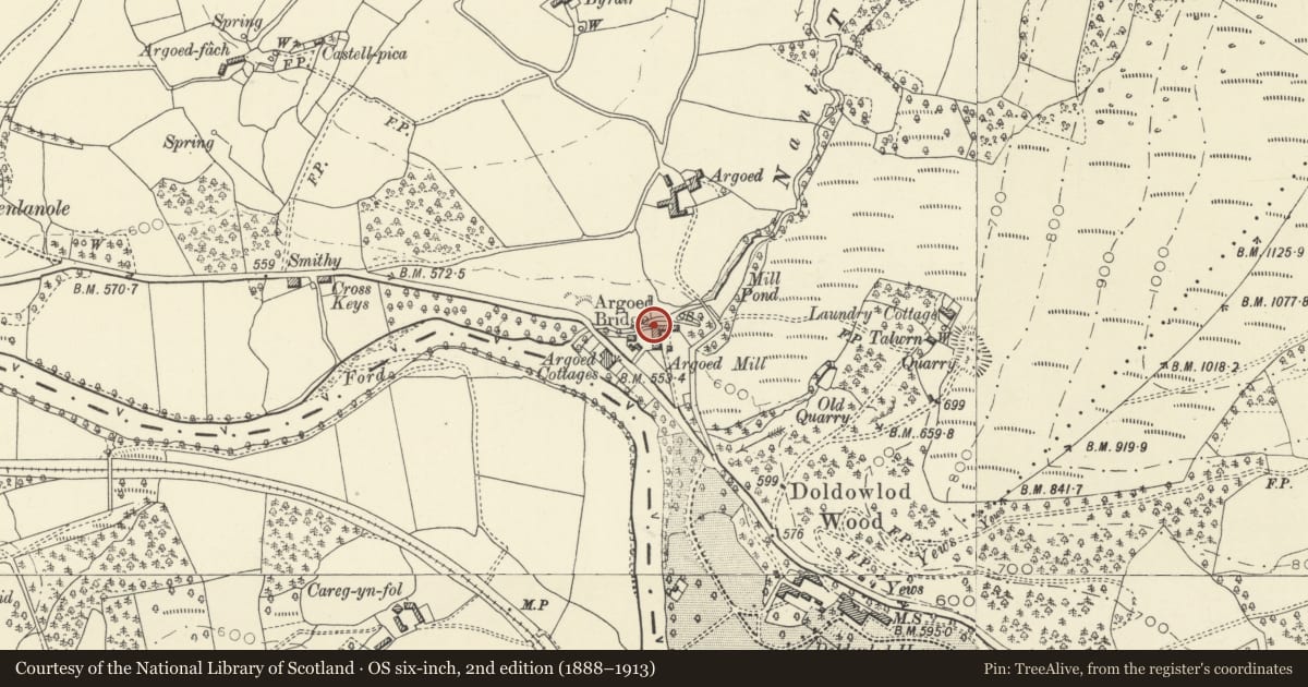
A corn mill is shown here on the 1840 Tithe map but the present building, with contemporary mill cottage and shop, was built in 1878 (date on roof trusses) and is shown on the 1889 Ordnance Survey. Corn was ground here until the 1930s, after which it was converted to produce hydro-electric power for nearby Doldowlod House until the National Grid superseded it in the late 1940s. It subsequently became a community centre and is now an art gallery.
Interior
Mill machinery has been removed and floors mostly replaced, but the heavy corbelled beams supporting the original floors have survived. The loft retains a pulley block and queen-post trusses, some of which are inscribed 'SGT/JD 1878'.
Reason for designation
Listed for its special interest as a well preserved corn mill building, a type once common in rural Wales, forming a strong visual group of definite C19 character with the adjacent cottage and post office, and for its contribution to the overall historic character of Argoed hamlet.
Nearby in the register
- Argoed Mill CottageNo class recordedunder 1 mi
- Argoed Mill Old Post OfficeNo class recordedunder 1 mi
- Corn-drying shed at Argoed MillNo class recordedunder 1 mi
- Former cart shed and workshop at Argoed MillNo class recordedunder 1 mi
Other entries of the same register within about three miles of this one, by straight line.