Cof Cymru: National Historic Assets of Wales · Wales
Argoed Mill Old Post Office
Nantmel, Powys, Wales
A Grade II listed building in Doldowlod, Nantmel, Powys, designated on 28 February 2005.
The record
- Designation
- Listed building, Grade II
- Broad class
- No class recorded
- Date of designation
- 28 February 2005
- Locality
- Doldowlod
- Community
- Nantmel
- Unitary authority
- Powys
- Country
- Wales
- Coordinates
- 52.25473, -3.47305
- Cadw reference
- 84105
Slide toward Today to fade the historical sheet and see the modern map underneath.
David Rumsey Map Collection, Stanford LibrariesDavid Rumsey Map Collection, Stanford LibrariesDavid Rumsey Map Collection, Stanford LibrariesDavid Rumsey Map Collection, Stanford LibrariesDavid Rumsey Map Collection, Stanford Libraries
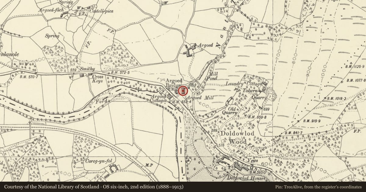
5 historical maps cover this location, the earliest the 1608 map "(13) Cambriae Typus." (David Rumsey Map Collection, Stanford Libraries).
Historical maps covering this location
- 1608 · (13) Cambriae Typus. (David Rumsey Map Collection, Stanford Libraries)
- 1637 · Particular description of Wales. Cambria seu Wallia (David Rumsey Map Collection, Stanford Libraries)
- 1883 · Watershed map England, Wales 3. (David Rumsey Map Collection, Stanford Libraries)
- 1898 · 179 Rhyader (Hills) (David Rumsey Map Collection, Stanford Libraries)
- 1901 · Sheet 14. (David Rumsey Map Collection, Stanford Libraries)
Cadw's description
Location
On the SE side of Argoed Mill Cottage.
History
Originally a shop and post office built by the Doldowlod Estate, probably contemporary with the adjacent mill (dated 1878) and miller's cottage, and shown on the 1889 Ordnance Survey.
Reason for designation
Listed for its special interest as a well-detailed estate building, as part of a strong visual group of definite C19 character, and for its contribution to the overall historic character of Argoed hamlet.
Nearby in the register
- Argoed Mill CottageNo class recordedunder 1 mi
- Argoed Mill GalleryNo class recordedunder 1 mi
- Former cart shed and workshop at Argoed MillNo class recordedunder 1 mi
- Telephone Call-box at entrance to Argoed MillNo class recordedunder 1 mi
Other entries of the same register within about three miles of this one, by straight line.