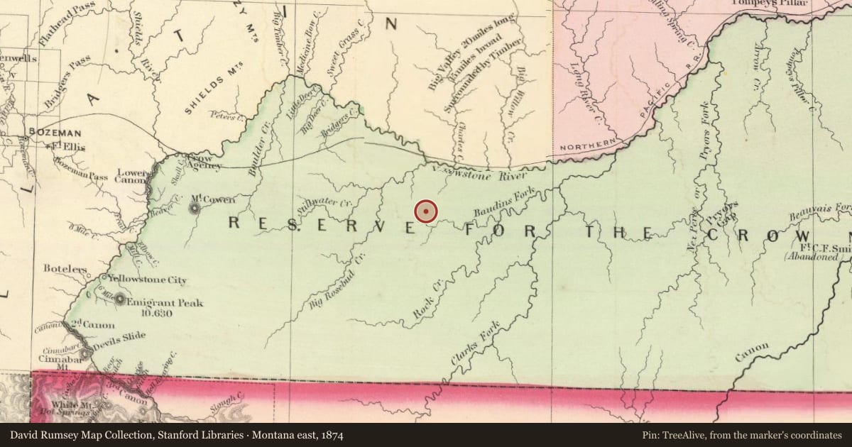
From 1875 to 1884, this was the site of the second Crow Indian agency. In 1875, the federal government ordered that the first agency be relocated from Mission Creek, east of present Livingston, to remove the Crow people from the destructive influence of whiskey traders. Agency employees selected this place, at the confluence of East Rosebud and Butcher Creeks, as the site of the new agency in the spring of 1875. When completed, a stockade enclosed “a square place of considerable extent” consisting of eight large buildings, many of which were built of adobe. A residence for the agent and several log cabins and warehouses were located within the “heavy plank wall.”
Thirteen small adobe cabins, called Doby Town, were located outside the stockade walls next to the present highway. Doby Town’s residents consisted mainly of Crow Indians. A ditch provided water to the agency and to small cultivated fields of corn, wheat, oats, and turnips. When the Crows gathered here in 1876 to collect their annuities from the federal government, a visitor reported “their white lodges dotting the plain and gleaming through the trees, while their thousands of horses range the surrounding hills.”
The Absaroka Agency represents a difficult and sorrowful time in the history of the Crow people as they transitioned from the self-sufficient days when they followed the bison herds to a more sedentary life on the reservation and dependence on the federal government for food and other necessities of life.
Slide toward Today to fade the historical sheet and see the modern map underneath.
For example, one family's tree showed the Articles of Confederation marker in Pennsylvania standing under a mile from where William Gabby lived in the 1760s.
What that marker records spans 1777 to 1789, overlapping William Gabby's years there.