Cof Cymru: National Historic Assets of Wales · Wales
Multi-purpose Farm Building at Bryn dulas
Llangurig, Powys, Wales
A Grade II listed building in Rhos y Pentref, Llangurig, Powys, designated on 24 March 2005.
The record
- Designation
- Listed building, Grade II
- Broad class
- No class recorded
- Date of designation
- 24 March 2005
- Locality
- Rhos y Pentref
- Community
- Llangurig
- Unitary authority
- Powys
- Country
- Wales
- Coordinates
- 52.43141, -3.54427
- Cadw reference
- 84299
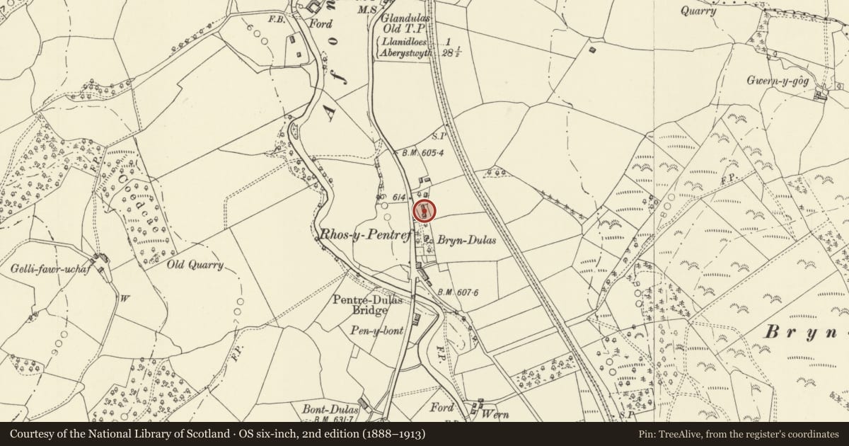
Slide toward Today to fade the historical sheet and see the modern map underneath.
David Rumsey Map Collection, Stanford LibrariesDavid Rumsey Map Collection, Stanford LibrariesDavid Rumsey Map Collection, Stanford LibrariesDavid Rumsey Map Collection, Stanford LibrariesDavid Rumsey Map Collection, Stanford Libraries
5 historical maps cover this location, the earliest the 1608 map "(13) Cambriae Typus." (David Rumsey Map Collection, Stanford Libraries).
Historical maps covering this location
- 1608 · (13) Cambriae Typus. (David Rumsey Map Collection, Stanford Libraries)
- 1637 · Particular description of Wales. Cambria seu Wallia (David Rumsey Map Collection, Stanford Libraries)
- 1883 · Watershed map England, Wales 3. (David Rumsey Map Collection, Stanford Libraries)
- 1899 · 164 Llanidloes (Hills) (David Rumsey Map Collection, Stanford Libraries)
- 1901 · Sheet 14. (David Rumsey Map Collection, Stanford Libraries)
Cadw's description
Location
Located up a short track off the A470. The farmyard is set apart from the house, slightly to the N.
History
C18-19 multi-purpose farm building, associated with the predecessor of Bryn Dulas villa.
Exterior
Lofted range under an old slate roof; the front is weather-boarded over timber-framing, gable end walls are of random stone, rear not seen. From L, 4 doorways, irregularly arranged, lead to stable, hayshed, barn and cow-bay. Each contains split doors except the hayshed which has a boarded door; the barn doorway is slightly raised. Three loft hatches above, that to centre with missing door. Small opening to far L. A projecting peg immediately R of barn doorway was for attachment of winnowing machinery. Stone pig sty, partly ruined, to L.
Interior
Interior of barn has threshing bay, pegged tie beam trusses with raked struts, and pegged wall plates; the loft is still present.
Reason for designation
Listed as a multi-purpose farm building retaining its agricultural character and detail, and for group value with Bryn dulas.
Nearby in the register
- Bryn dulasNo class recordedunder 1 mi
- GlanyrafonNo class recordedunder 1 mi
- Cwmbelan MillNo class recordedunder 1 mi
- Former Coach-House and Stables at Maenol (Maenol Cottage)Domesticunder 1 mi
Other entries of the same register within about three miles of this one, by straight line.