Cof Cymru: National Historic Assets of Wales · Wales
Penrice Castle South-East Gates and Piers (Also in Penrice Community)
Penrice, Swansea, Wales
A Grade II listed building in Penrice, Swansea, designated on 29 October 1999.
The record
- Designation
- Listed building, Grade II
- Broad class
- Domestic
- Date of designation
- 29 October 1999
- Locality
- Penrice
- Town
- Swansea
- Community
- Penrice
- Unitary authority
- Swansea
- Country
- Wales
- Coordinates
- 51.57038, -4.16248
- Cadw reference
- 23540
Slide toward Today to fade the historical sheet and see the modern map underneath.
David Rumsey Map Collection, Stanford LibrariesDavid Rumsey Map Collection, Stanford LibrariesDavid Rumsey Map Collection, Stanford LibrariesDavid Rumsey Map Collection, Stanford LibrariesDavid Rumsey Map Collection, Stanford Libraries
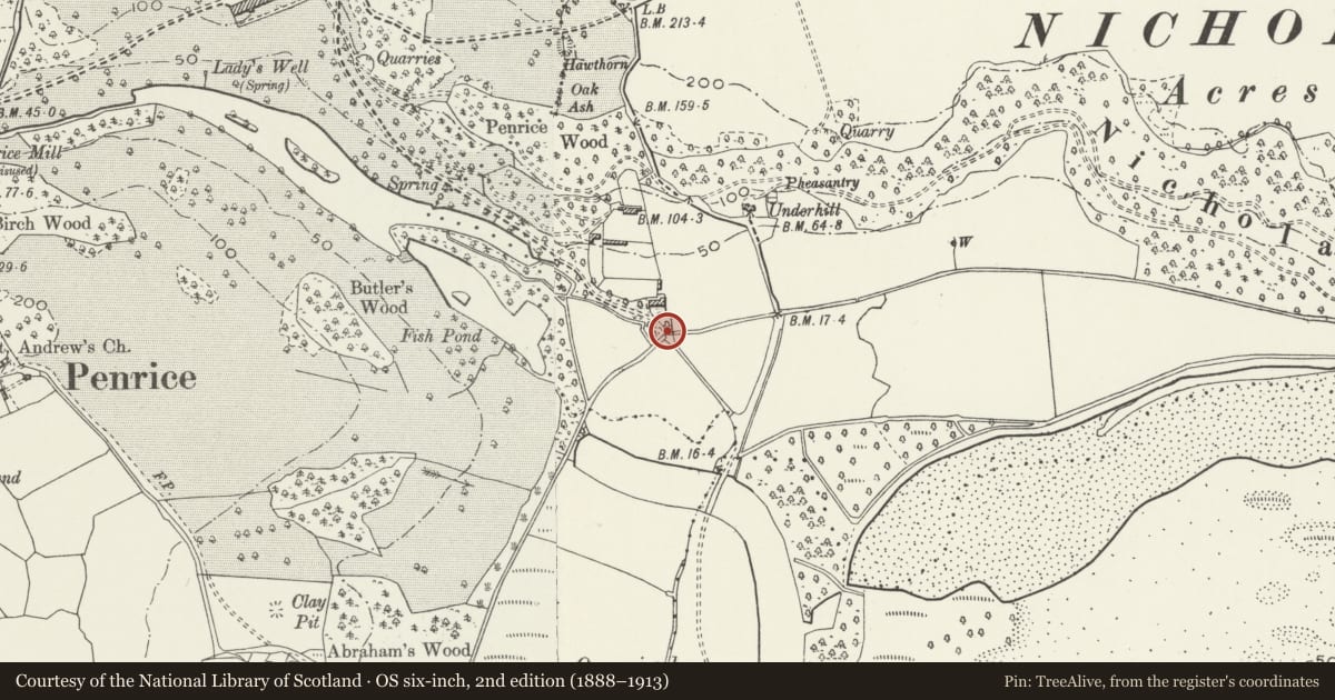
5 historical maps cover this location, the earliest the 1636 map "Cornubia : Devonia, Somersetus, Dorcestria, Wiltonia, Glocestria ..." (David Rumsey Map Collection, Stanford Libraries).
Historical maps covering this location
- 1636 · Cornubia : Devonia, Somersetus, Dorcestria, Wiltonia, Glocestria ... (David Rumsey Map Collection, Stanford Libraries)
- 1637 · The fourth table of England. Cornub. Devonia, Somerset etc. (David Rumsey Map Collection, Stanford Libraries)
- 1865 · England and Wales. England No. 6. (David Rumsey Map Collection, Stanford Libraries)
- 1891 · Sheet 10. Ordnance Survey of England and Wales. . (David Rumsey Map Collection, Stanford Libraries)
- 1920 · Sheet 100. Llanelly. (David Rumsey Map Collection, Stanford Libraries)
Cadw's description
Location
At the south east entrance to Penrice Castle park, reached by a private lane from the road crossing Oxwich Marsh.
Exterior
See Record no. 22542 for full description of this item.
Reason for designation
Listed for group value with Penrice Castle (mansion).
Nearby in the register
- Penrice Castle South-East Gates and Piers (Also in Ilston Community)Domesticunder 1 mi
- The OrangeryDomesticunder 1 mi
- Old Cottage in grounds of Underhill CottageDomesticunder 1 mi
- Outlying tower designed to complement Penrice TowersDomesticunder 1 mi
Other entries of the same register within about three miles of this one, by straight line.