Cof Cymru: National Historic Assets of Wales · Wales
Cowhouse at Bryn-ffoulk
Aberdaron, Gwynedd, Wales
A Grade II listed building in Rhiw, Aberdaron, Gwynedd, designated on 17 January 2000.
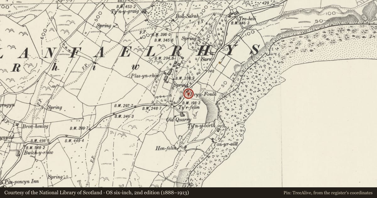
The record
- Designation
- Listed building, Grade II
- Broad class
- Domestic
- Date of designation
- 17 January 2000
- Locality
- Rhiw
- Community
- Aberdaron
- Unitary authority
- Gwynedd
- Country
- Wales
- Coordinates
- 52.82199, -4.61761
- Cadw reference
- 22788
Slide toward Today to fade the historical sheet and see the modern map underneath.
David Rumsey Map Collection, Stanford LibrariesDavid Rumsey Map Collection, Stanford LibrariesDavid Rumsey Map Collection, Stanford LibrariesDavid Rumsey Map Collection, Stanford LibrariesDavid Rumsey Map Collection, Stanford Libraries
5 historical maps cover this location, the earliest the 1608 map "(13) Cambriae Typus." (David Rumsey Map Collection, Stanford Libraries).
Historical maps covering this location
- 1608 · (13) Cambriae Typus. (David Rumsey Map Collection, Stanford Libraries)
- 1830 · V.3:11-15:XV. Britisches Reich. A. Kon: England. b. Frstenthum Wales: Shire: 37-40 (David Rumsey Map Collection, Stanford Libraries)
- 1883 · Watershed map England, Wales 3. (David Rumsey Map Collection, Stanford Libraries)
- 1899 · 134 Pwllheli (Hills) (David Rumsey Map Collection, Stanford Libraries)
- 1901 · Sheet 9 and 10. (David Rumsey Map Collection, Stanford Libraries)
Cadw's description
Location
Situated just outside the garden of the cottage, a few metres to its SW.
History
Probably near-contemporary with the cottage, so late C18 or early C19.
Exterior
A simple, small stone building with grouted slate roof. Single doorway to centre of south elevation (facing onto the fields), with stone lintel. No other openings.
Interior
Simple interior with cobbled floor and rough timber partitions (probably not original) forming stalls to left of doorway. Single A-frame truss.
Reason for designation
Listed as a well-preserved detached cowhouse, and an integral part of this small cottage holding.
Nearby in the register
- Bryn-ffoulkDomesticunder 1 mi
- Terraces at Plas yn RhiwDomesticunder 1 mi
- Workshop at Plas yn RhiwDomesticunder 1 mi
- Bwthyn yr Ardd at Plas yn RhiwDomesticunder 1 mi
Other entries of the same register within about three miles of this one, by straight line.