Cof Cymru: National Historic Assets of Wales · Wales
No.17 including area railings
Milford Haven, Pembrokeshire, Wales
A Grade II listed building in Milford Haven, Pembrokeshire, designated on 22 February 1993.
The record
- Designation
- Listed building, Grade II
- Broad class
- Domestic
- Date of designation
- 22 February 1993
- Community
- Milford Haven
- Unitary authority
- Pembrokeshire
- Country
- Wales
- Coordinates
- 51.71247, -5.03573
- Cadw reference
- 12880
Slide toward Today to fade the historical sheet and see the modern map underneath.
David Rumsey Map Collection, Stanford LibrariesDavid Rumsey Map Collection, Stanford LibrariesDavid Rumsey Map Collection, Stanford LibrariesDavid Rumsey Map Collection, Stanford LibrariesDavid Rumsey Map Collection, Stanford Libraries
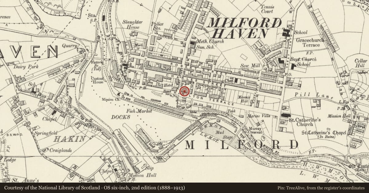
5 historical maps cover this location, the earliest the 1636 map "Cornubia : Devonia, Somersetus, Dorcestria, Wiltonia, Glocestria ..." (David Rumsey Map Collection, Stanford Libraries).
Historical maps covering this location
- 1636 · Cornubia : Devonia, Somersetus, Dorcestria, Wiltonia, Glocestria ... (David Rumsey Map Collection, Stanford Libraries)
- 1865 · England and Wales. England No. 6. (David Rumsey Map Collection, Stanford Libraries)
- 1898 · 227 Milford (Outline) (David Rumsey Map Collection, Stanford Libraries)
- 1898 · 227 Milford (Hills) (David Rumsey Map Collection, Stanford Libraries)
- 1901 · Sheet 13. (David Rumsey Map Collection, Stanford Libraries)
Cadw's description
Location
Situated in terraced row, immediately E of Barclays Bank.
Exterior
Circa l800 terraced house in painted roughcast and stucco with slate roof and rendered rubble stone E end stack. Three-storey three-window range of C20 plate glass windows in thin architraves. Door to left with overlight.
Fine spearhead iron railings to area with pair of square cast-iron piers with Gothic panels and pyramid caps. Gate matches railings.
Interior
Original dog-leg stair with column newels and brackets to tread ends. Ground floor room has W end arched alcove.
Reason for designation
A pair with No l8 and group value as part of the early development of Milford.
Nearby in the register
- No.18, including area railingsDomesticunder 1 mi
- Barclays BankCommercialunder 1 mi
- 19 Hamilton TerraceDomesticunder 1 mi
- 20 Hamilton TerraceDomesticunder 1 mi
Other entries of the same register within about three miles of this one, by straight line.