Cof Cymru: National Historic Assets of Wales · Wales
Melrose (D.B.Davies, Pharmacy)
Newport, Pembrokeshire, Wales
A Grade II listed building in Newport, Pembrokeshire, designated on 14 April 1992.
The record
- Designation
- Listed building, Grade II
- Broad class
- Commercial
- Date of designation
- 14 April 1992
- Community
- Newport
- Unitary authority
- Pembrokeshire
- Country
- Wales
- Coordinates
- 52.01601, -4.83291
- Cadw reference
- 12498
Slide toward Today to fade the historical sheet and see the modern map underneath.
David Rumsey Map Collection, Stanford LibrariesDavid Rumsey Map Collection, Stanford LibrariesDavid Rumsey Map Collection, Stanford LibrariesDavid Rumsey Map Collection, Stanford LibrariesDavid Rumsey Map Collection, Stanford Libraries
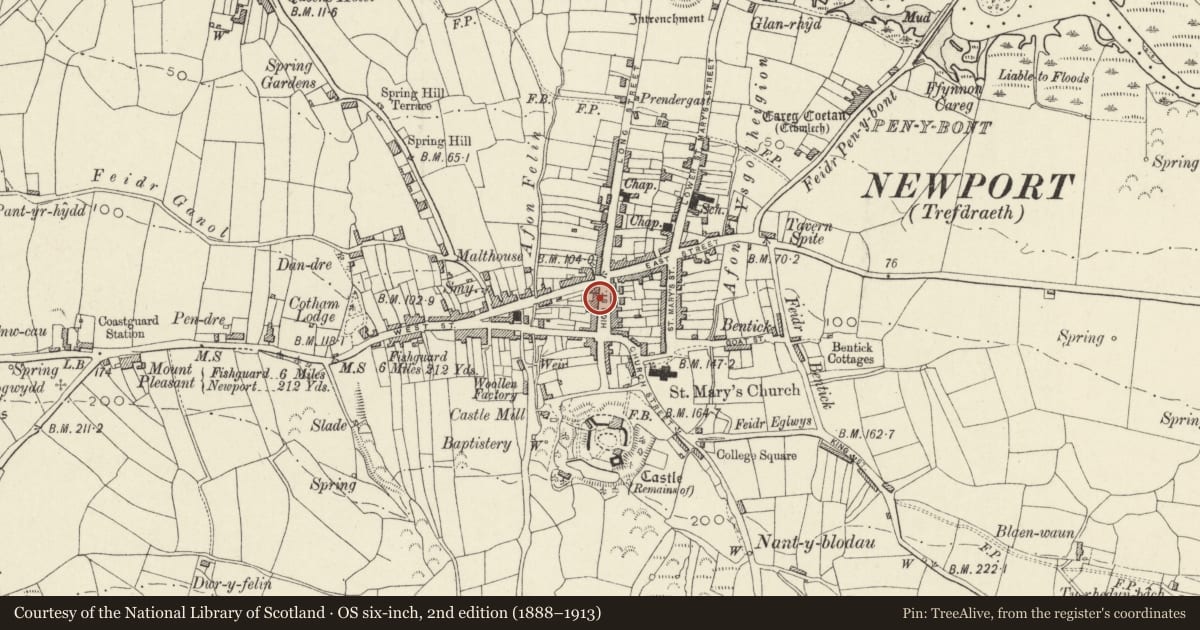
5 historical maps cover this location, the earliest the 1608 map "(13) Cambriae Typus." (David Rumsey Map Collection, Stanford Libraries).
Historical maps covering this location
- 1608 · (13) Cambriae Typus. (David Rumsey Map Collection, Stanford Libraries)
- 1891 · Sheet 10. Ordnance Survey of England and Wales. . (David Rumsey Map Collection, Stanford Libraries)
- 1898 · 210 Cardigan (Hills) (David Rumsey Map Collection, Stanford Libraries)
- 1898 · 210 Cardigan (Outline) (David Rumsey Map Collection, Stanford Libraries)
- 1901 · Sheet 13. (David Rumsey Map Collection, Stanford Libraries)
Cadw's description
Location
Situated adjoining Lloyds Bank, the second building from N end.
Exterior
Early to mid C19 house in painted stucco with slate roof and stone end stacks. Three-storey, 3-window front with renewed hardwood sashes to upper floors and shop windows below each side of door. 6-pane upper sashes with flat heads and raised stucco labels, two 12-pane cambered headed first floor windows and centre blank window with cambered stucco labels and keystones. Ground floor left plate-glass window (replacing sash) in raised cambered-headed stucco surround with keystone, half-glazed door with overlight in flat-headed raised stucco surround with keystone and broad plate glass shop window to right in similar flat headed surround. Slate sills.
Rubble stone N end wall and rear wall.
Ca1900 photographs show no raised stucco dressings and matching ground floor windows.
Nearby in the register
- Bryn CoedDomesticunder 1 mi
- FronlasDomesticunder 1 mi
- The Llwyngwair ArmsCommercialunder 1 mi
- The Sessions HouseCommercialunder 1 mi
Other entries of the same register within about three miles of this one, by straight line.