Cof Cymru: National Historic Assets of Wales · Wales
Fronlas
Newport, Pembrokeshire, Wales
A Grade II listed building in Newport, Pembrokeshire, designated on 14 April 1992.
The record
- Designation
- Listed building, Grade II
- Broad class
- Domestic
- Date of designation
- 14 April 1992
- Community
- Newport
- Unitary authority
- Pembrokeshire
- Country
- Wales
- Coordinates
- 52.01578, -4.83288
- Cadw reference
- 12500
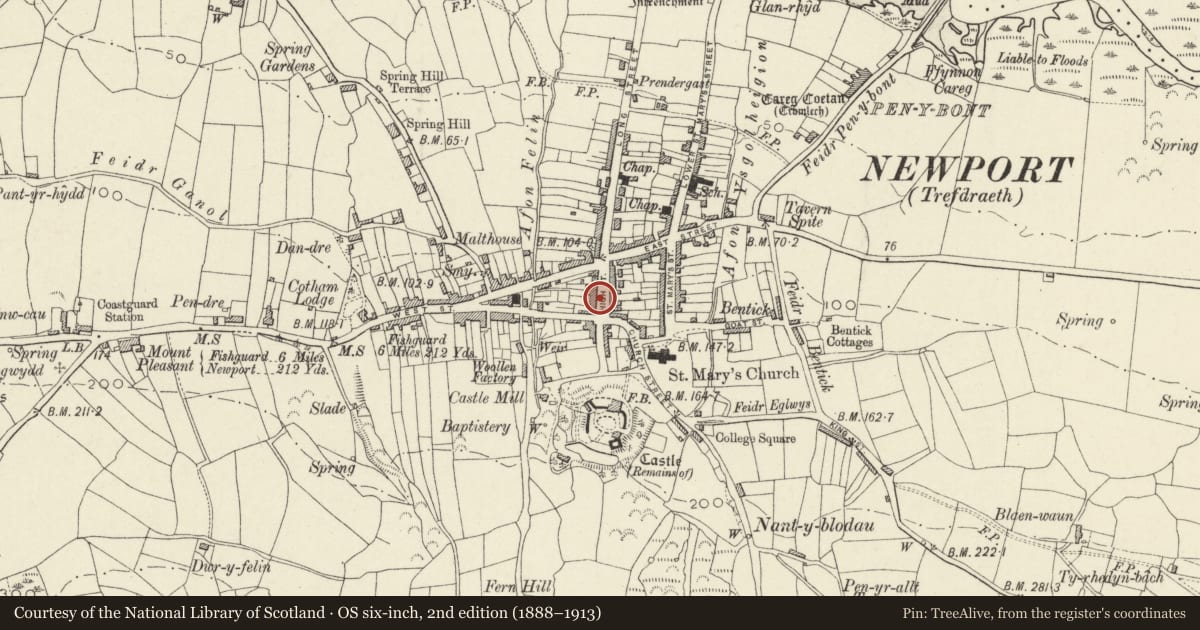
Slide toward Today to fade the historical sheet and see the modern map underneath.
David Rumsey Map Collection, Stanford LibrariesDavid Rumsey Map Collection, Stanford LibrariesDavid Rumsey Map Collection, Stanford LibrariesDavid Rumsey Map Collection, Stanford LibrariesDavid Rumsey Map Collection, Stanford Libraries
5 historical maps cover this location, the earliest the 1608 map "(13) Cambriae Typus." (David Rumsey Map Collection, Stanford Libraries).
Historical maps covering this location
- 1608 · (13) Cambriae Typus. (David Rumsey Map Collection, Stanford Libraries)
- 1891 · Sheet 10. Ordnance Survey of England and Wales. . (David Rumsey Map Collection, Stanford Libraries)
- 1898 · 210 Cardigan (Hills) (David Rumsey Map Collection, Stanford Libraries)
- 1898 · 210 Cardigan (Outline) (David Rumsey Map Collection, Stanford Libraries)
- 1901 · Sheet 13. (David Rumsey Map Collection, Stanford Libraries)
Cadw's description
Location
Situated towards upper end of terraced row, between Fountain House and Ty Twt.
Exterior
Mid to later C19 house in green and brown rubble stone with slate roof and stone end stacks. Two storey, double fronted narrow front with two 12-pane sashes to each floor and centre 6-panel door with overlight. Cut stone slightly cambered window and door heads, slate sills. S end loft light. Under eaves of front is small wood-framed panel inset, purpose unknown.
Reason for designation
A well preserved small town house.
Nearby in the register
- Bryn CoedDomesticunder 1 mi
- Melrose (D.B.Davies, Pharmacy)Commercialunder 1 mi
- The Llwyngwair ArmsCommercialunder 1 mi
- Castle GreenDomesticunder 1 mi
Other entries of the same register within about three miles of this one, by straight line.