Cof Cymru: National Historic Assets of Wales · Wales
Well (including churchyard Wall for 10m West and 20m East)
Llandeilo, Carmarthenshire, Wales
A Grade II listed building in Llandeilo, Carmarthenshire, designated on 24 June 1991.
The record
- Designation
- Listed building, Grade II
- Broad class
- Religious, Ritual and Funerary
- Date of designation
- 24 June 1991
- Community
- Llandeilo
- Unitary authority
- Carmarthenshire
- Country
- Wales
- Coordinates
- 51.88181, -3.99237
- Cadw reference
- 11052
Slide toward Today to fade the historical sheet and see the modern map underneath.
David Rumsey Map Collection, Stanford LibrariesDavid Rumsey Map Collection, Stanford LibrariesDavid Rumsey Map Collection, Stanford LibrariesDavid Rumsey Map Collection, Stanford LibrariesDavid Rumsey Map Collection, Stanford Libraries
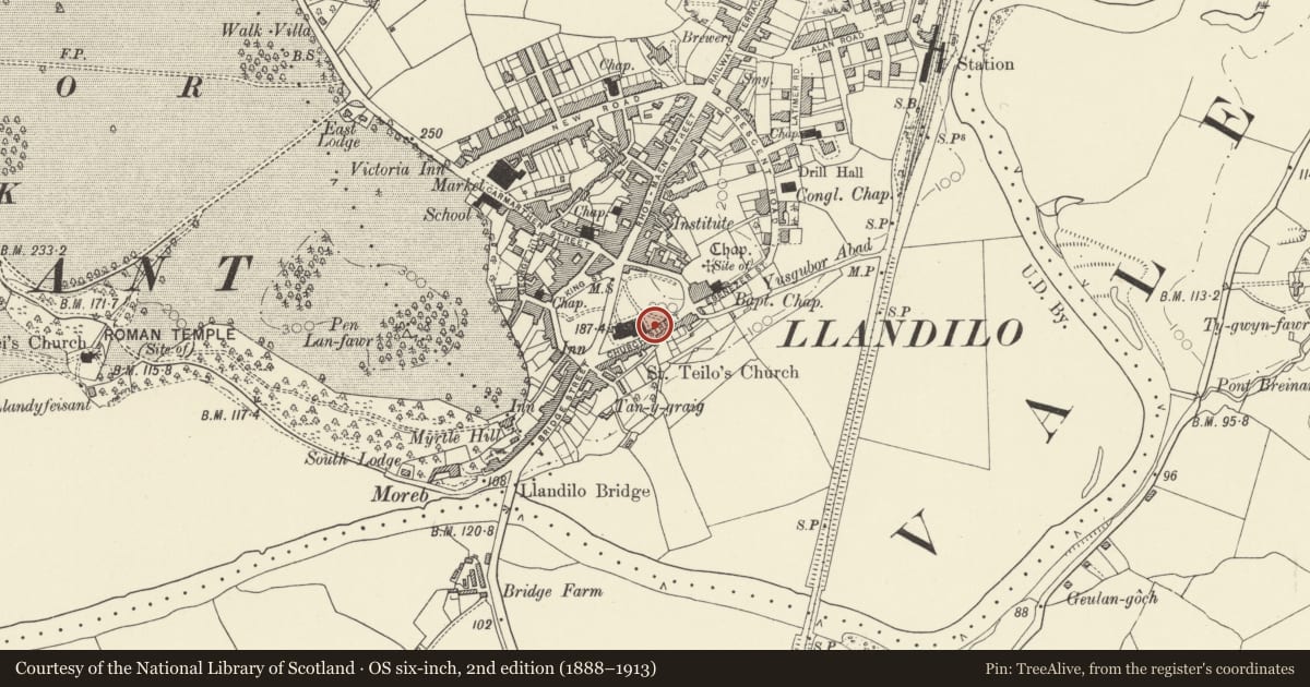
5 historical maps cover this location, the earliest the 1860 map "41. Caermathen." (David Rumsey Map Collection, Stanford Libraries).
Historical maps covering this location
- 1860 · 41. Caermathen. (David Rumsey Map Collection, Stanford Libraries)
- 1891 · Sheet 10. Ordnance Survey of England and Wales. . (David Rumsey Map Collection, Stanford Libraries)
- 1898 · 212 Llandovery (Outline) (David Rumsey Map Collection, Stanford Libraries)
- 1898 · 212 Llandovery (Hills) (David Rumsey Map Collection, Stanford Libraries)
- 1901 · Sheet 14. (David Rumsey Map Collection, Stanford Libraries)
Cadw's description
Location
Built into the retaining wall of the churchyard below the East end of the church
History
Cl9 well utilising water diverted from the former Baptistry of St Teilo's within the churchyard. There is an associated rhyme.
"In puddings and pies and leek broth you'll find
The quintessence of mortals and swallow your kind".
Exterior
Broad cambered stone voussoir arch over open fronted vaulted chamber recessed into churchyard, stepped down from street level. Squared rubble masonry. Round arched concave spring recess. Rectangular opening at left to subterranean tunnel. Vent? Stone voussoirs. Squared rubble masonry to churchyard wall.
Nearby in the register
- Parish Church of St TeiloReligious, Ritual and Funeraryunder 1 mi
- Stepney HouseDomesticunder 1 mi
- Mount PleasantDomesticunder 1 mi
- 4 Church StreetDomesticunder 1 mi
Other entries of the same register within about three miles of this one, by straight line.