Cof Cymru: National Historic Assets of Wales · Wales
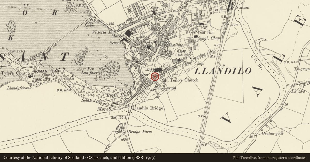
4 Church Street
Llandeilo, Carmarthenshire, Wales
A Grade II listed building in Llandeilo, Carmarthenshire, designated on 24 June 1991.
The record
- Designation
- Listed building, Grade II
- Broad class
- Domestic
- Date of designation
- 24 June 1991
- Community
- Llandeilo
- Unitary authority
- Carmarthenshire
- Country
- Wales
- Coordinates
- 51.88142, -3.99315
- Cadw reference
- 11053
Slide toward Today to fade the historical sheet and see the modern map underneath.
David Rumsey Map Collection, Stanford LibrariesDavid Rumsey Map Collection, Stanford LibrariesDavid Rumsey Map Collection, Stanford LibrariesDavid Rumsey Map Collection, Stanford LibrariesDavid Rumsey Map Collection, Stanford Libraries
5 historical maps cover this location, the earliest the 1860 map "41. Caermathen." (David Rumsey Map Collection, Stanford Libraries).
Historical maps covering this location
- 1860 · 41. Caermathen. (David Rumsey Map Collection, Stanford Libraries)
- 1891 · Sheet 10. Ordnance Survey of England and Wales. . (David Rumsey Map Collection, Stanford Libraries)
- 1898 · 212 Llandovery (Outline) (David Rumsey Map Collection, Stanford Libraries)
- 1898 · 212 Llandovery (Hills) (David Rumsey Map Collection, Stanford Libraries)
- 1901 · Sheet 14. (David Rumsey Map Collection, Stanford Libraries)
Cadw's description
Location
On the street line opposite the tower of the church.
Exterior
Early Cl9. 2 storey, 2 window house. Colourwashed plastered front on rubble, black plinth. Gently pitched slate roof, plain eaves. Rubble stack to right.
12 pane sash windows to lst floor, plain reveals. Similar window to ground floor right. Round arched doorway to centre, blind fanlight. Late Cl9 door. Twin glazed vertical panels over horizontal middle panel - all moulded, over 2 flush bottom panels. Broader round arched doorway to tunnel passage at left. Blind fanlight over plank door, stepped down from street level.
Reason for designation
Included as good intact example of working class housing in the town.
Nearby in the register
- Waterloo VillaDomesticunder 1 mi
- 24 Bridge StreetCommercialunder 1 mi
- Parish Church of St TeiloReligious, Ritual and Funeraryunder 1 mi
- 25 Bridge StreetCommercialunder 1 mi
Other entries of the same register within about three miles of this one, by straight line.