Cof Cymru: National Historic Assets of Wales · Wales
Hill House
Llandeilo, Carmarthenshire, Wales
A Grade II listed building in Llandeilo, Carmarthenshire, designated on 14 March 1966.
The record
- Designation
- Listed building, Grade II
- Broad class
- Domestic
- Date of designation
- 14 March 1966
- Community
- Llandeilo
- Unitary authority
- Carmarthenshire
- Country
- Wales
- Coordinates
- 51.88280, -3.99394
- Cadw reference
- 11044
Slide toward Today to fade the historical sheet and see the modern map underneath.
David Rumsey Map Collection, Stanford LibrariesDavid Rumsey Map Collection, Stanford LibrariesDavid Rumsey Map Collection, Stanford LibrariesDavid Rumsey Map Collection, Stanford LibrariesDavid Rumsey Map Collection, Stanford Libraries
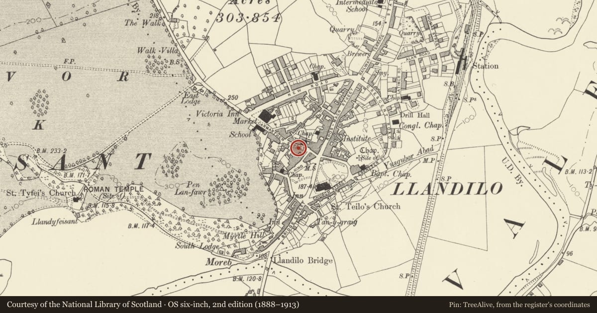
5 historical maps cover this location, the earliest the 1860 map "41. Caermathen." (David Rumsey Map Collection, Stanford Libraries).
Historical maps covering this location
- 1860 · 41. Caermathen. (David Rumsey Map Collection, Stanford Libraries)
- 1891 · Sheet 10. Ordnance Survey of England and Wales. . (David Rumsey Map Collection, Stanford Libraries)
- 1898 · 212 Llandovery (Outline) (David Rumsey Map Collection, Stanford Libraries)
- 1898 · 212 Llandovery (Hills) (David Rumsey Map Collection, Stanford Libraries)
- 1901 · Sheet 14. (David Rumsey Map Collection, Stanford Libraries)
Cadw's description
Location
Set above the street line behind a paved railed forecourt opposite Town Hall.
Exterior
Ca 1800. 2 storey, 3 window house. Colourwashed plaster on rubble with plinth. Gently pitched slate roof, rendered stacks. Gabled dormer to right 12 pane sash window, small paned glazed cheeks. Dentilled eaves cornice.
Windows replaced in plastic. Central doorway. Doorcase with open pediment hood on brackets, junk panelled pilasters, fanlight over modern door.
Raised paved area to front. Original spear pointed railings urns to stanchions
Nearby in the register
- 4 King StreetCommercialunder 1 mi
- Cafe RoyaleCommercialunder 1 mi
- PeppercornCommercialunder 1 mi
- Premisies of Llewellyn Humphrey's, Chartered Surveyor & Estate AgentsCommercialunder 1 mi
Other entries of the same register within about three miles of this one, by straight line.