Cof Cymru: National Historic Assets of Wales · Wales
Pump
Aberaeron, Ceredigion, Wales
A Grade II listed building in Aberaeron, Ceredigion, designated on 25 September 1986.
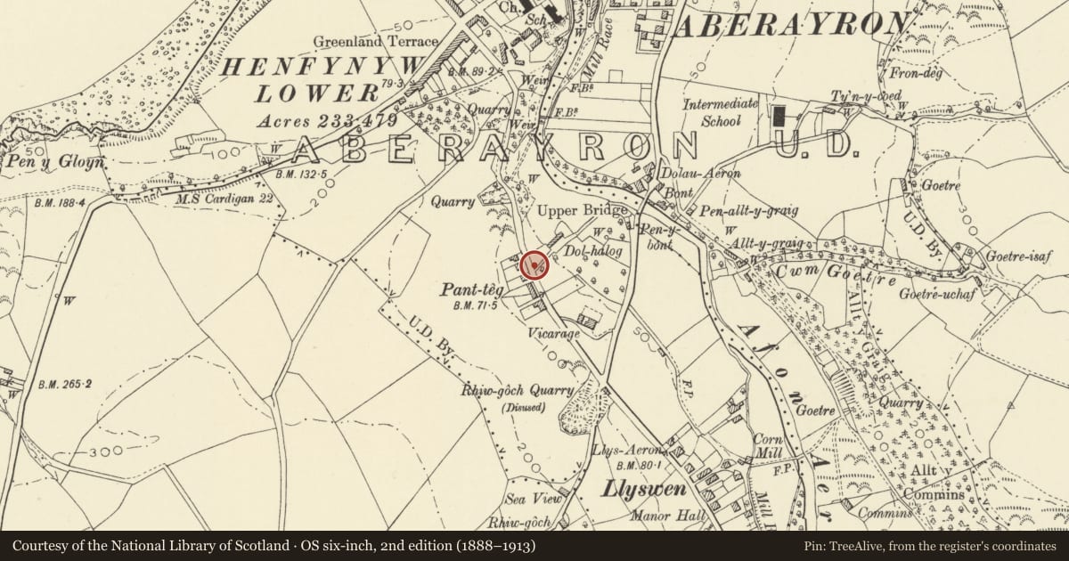
The record
- Designation
- Listed building, Grade II
- Broad class
- Water Supply and Drainage
- Date of designation
- 25 September 1986
- Locality
- Aberaeron
- Community
- Aberaeron
- Unitary authority
- Ceredigion
- Country
- Wales
- Coordinates
- 52.23728, -4.26054
- Cadw reference
- 10176
Slide toward Today to fade the historical sheet and see the modern map underneath.
David Rumsey Map Collection, Stanford LibrariesDavid Rumsey Map Collection, Stanford LibrariesDavid Rumsey Map Collection, Stanford LibrariesDavid Rumsey Map Collection, Stanford LibrariesDavid Rumsey Map Collection, Stanford Libraries
5 historical maps cover this location, the earliest the 1830 map "V.3:11-15:XV. Britisches Reich. A. Kon: England. b. Frstenthum Wales: Shire: 37-40" (David Rumsey Map Collection, Stanford Libraries).
Historical maps covering this location
- 1830 · V.3:11-15:XV. Britisches Reich. A. Kon: England. b. Frstenthum Wales: Shire: 37-40 (David Rumsey Map Collection, Stanford Libraries)
- 1898 · 177 Aberaeron (Hills) (David Rumsey Map Collection, Stanford Libraries)
- 1898 · 177 Aberaeron (Outline) (David Rumsey Map Collection, Stanford Libraries)
- 1901 · Sheet 14. (David Rumsey Map Collection, Stanford Libraries)
- 1919 · Sheet 78. Lampeter. (David Rumsey Map Collection, Stanford Libraries)
Cadw's description
Location
Beside the road on the corner with Dolheulog, the fountain set back.
History
C19
Exterior
Cylindrical cast ironwork stem to pump (approximately 5/5½ ft high) with broad, fluted head and fluted cap. Sinuous handle with bulbous oval end to left, spout to far side with scroll ornamentation.
Fluted stem to fountain about 3 ft high with splayed out top; regularly spaced openings for tap handles (?) to rim; outlet pipe below. Makers plate on fountain reads:- "Glenfield and Kennedy Ltd. Kilmarnock."
Nearby in the register
- FountainGardens, Parks and Urban Spacesunder 1 mi
- No 6 Panteg VillasDomesticunder 1 mi
- No 2 Panteg Villas (Islwyn)Domesticunder 1 mi
- Panteg VillasDomesticunder 1 mi
Other entries of the same register within about three miles of this one, by straight line.