Sites and Monuments Record · Ireland
Graveslab
Freshford Lots, County Kilkenny, Ireland
The record
- Townland
- Freshford Lots
- County
- Kilkenny
- Country
- Ireland
- First-edition OS map
- Not indicated
- Latest-edition OS map
- Not indicated
- Coordinates
- 52.73258, -7.39743
- SMR number
- KK013-023013-
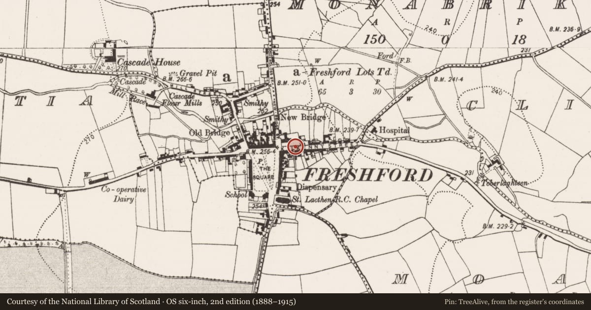
Slide toward Today to fade the historical sheet and see the modern map underneath.
David Rumsey Map Collection, Stanford LibrariesDavid Rumsey Map Collection, Stanford LibrariesDavid Rumsey Map Collection, Stanford LibrariesDavid Rumsey Map Collection, Stanford Libraries
4 historical maps cover this location, the earliest the 1790 map "Composite: Ireland." (David Rumsey Map Collection, Stanford Libraries).
Historical maps covering this location
- 1790 · Composite: Ireland. (David Rumsey Map Collection, Stanford Libraries)
- 1811 · Ireland. (David Rumsey Map Collection, Stanford Libraries)
- 1869 · Ireland. (David Rumsey Map Collection, Stanford Libraries)
- 1891 · Ireland 16 (David Rumsey Map Collection, Stanford Libraries)
This record in the National Monuments Service's Historic Environment Viewer ↗
The National Monuments Service's description
In the graveyard (KK013-023001-) of Freshford church (KK013-023001-), 1m E of S end of E gable of C of I church. A tapering limestone slab (max. L c. 1.57m; Wth at top c. 0.65m; T 0.22m), the upper edges of which are chamfered (Wth of chamfer 0.08m). The upper portion of the graveslab, including the cross-head, is missing. The middle portion is badly broken, consisting of four incomplete pieces (top dexter Wth 0.275m x L 0.125; top sinister Wth 0.2m x L 0.36m; lower dexter Wth 0.285m x L 0.43m; lower sinister Wth 0.33m x L 0.26m), while the lower portion (L 0.95m; Wth at top 0.58m; Wth at base 0.425m) is intact. It is decorated in high relief, probably with a floriated cross though the cross-head is missing, the raised shaft (H 0.015m) terminates with a fleur-de-lis with leaves springing from the shaft above it on either side. There is no visible inscription.
See attached photographs:
KK013-023013-_01 Overview of slab from N
KK013-023013-_02 Overview of slab from NE
KK013-023013-_03 Location of slab in graveyard, SSE of S angle of C of I chancel
KK013-023013-_04 Location of slab N of S wall of graveyard
Compiled by: Jean Farrelly
Date of upload: 22 August 2022
Nearby in the register
Other entries of the same register within about three miles of this one, by straight line.