Side A: One of the most influential Native Americans of the 19th century, Tecumseh was born in 1768 in the Pickaway settlements on the Mad River and raised by older siblings at Old Town. A prominent Shawnee war leader who vigorously opposed American expansion, he fought at the Battle of Fallen Timbers but refused to attend the subsequent signing of the Treaty of Greene Ville in 1795. Angered by purchases of Native American land in Indiana by the United States, Tecumseh promoted a pan-Indian confederacy to resist the encroachment of white settlers, traveling thousands of miles throughout the western and southern frontiers in an effort to gain supporters for the alliance. Tecumseh sided with the British during the War of 1812 and was killed at the Battle of the Thames on October 5, 1813. His death ended hopes for a united Indian coalition.
Side B: Tecumseh and his younger brother Tenskwatawa (Open Door or the Shawnee Prophet) established a village here in 1805 as a mission for Native American unity. Upon receiving a vision from the Great Spirit or Master of Life, Tenskwatawa vowed to renounce alcohol and preached to return to traditional Indian practices, native foods, implements, dress, and ceremonies of their ancestors. Tensions grew as settlers feared the growing contingent living south of the Greene Ville Treaty line. Pressured by William Henry Harrison, the Prophet moved his followers to the Indiana Prophetstown in 1808, which was destroyed in the ill-fated Battle of Tippecanoe in 1811. During the Shawnee removal west in 1826, the Prophet asked the U. S. Army for permission to spend a few days here to honor their ancestors. The Prophet died in November 1836 and is buried somewhere under modern Kansas City.
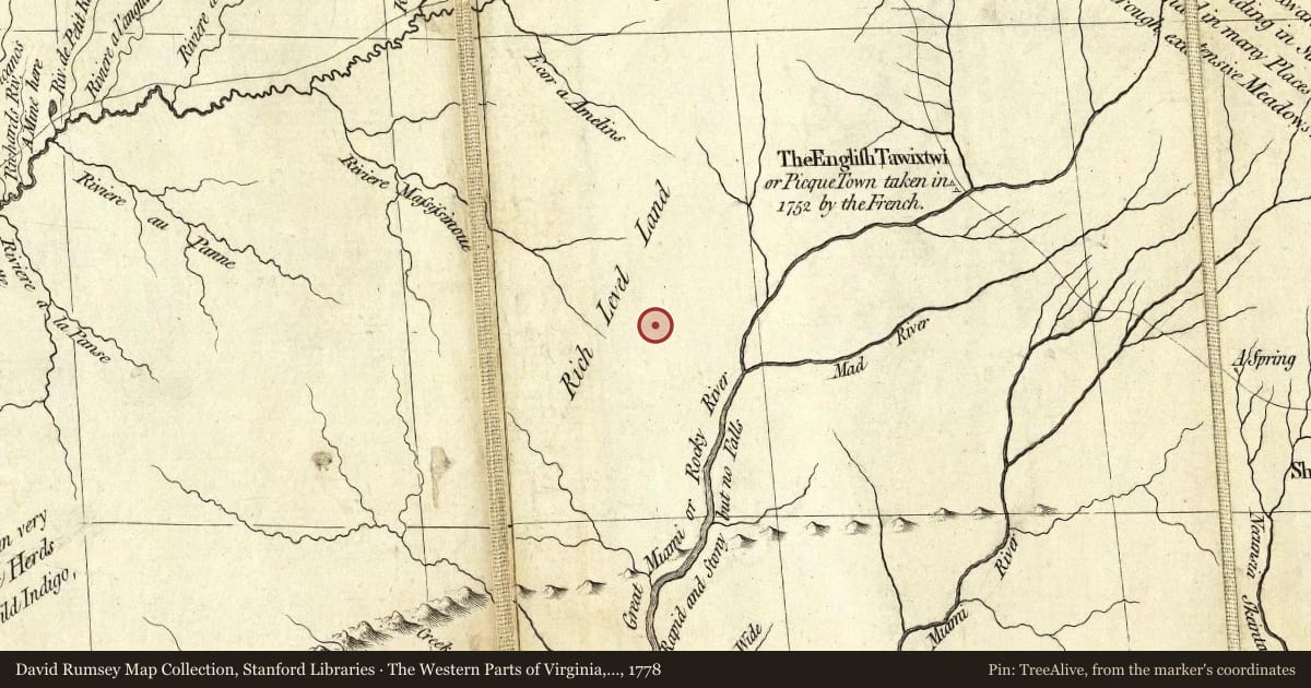
Maps this old were drawn largely by eye, so places on them can sit miles from where they really are. The pin is ours and marks the marker's location today.
Slide toward Today to fade the historical sheet and see the modern map underneath.
The Western Parts of Virginia, Pennsylvania, Maryland and North Carolina, 1778, covering this location. David Rumsey Map Collection, Stanford Libraries. The pin is ours, placed from the marker's coordinates.
For example, one family's tree showed the Articles of Confederation marker in Pennsylvania standing under a mile from where William Gabby lived in the 1760s.
What that marker records spans 1777 to 1789, overlapping William Gabby's years there.