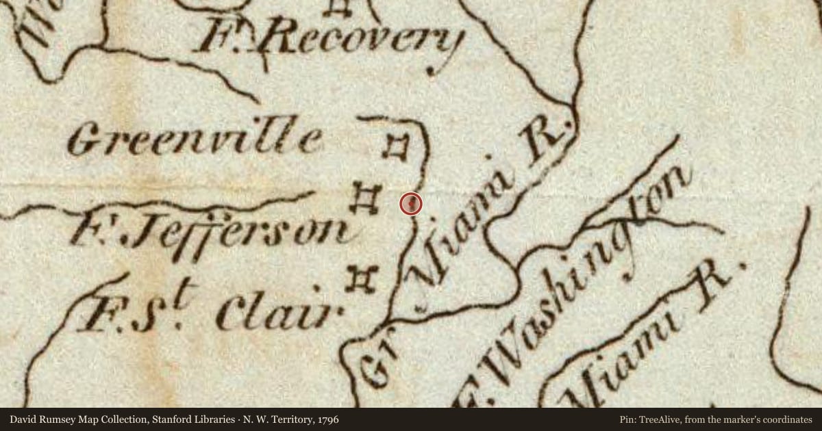
Side A: During the Indian Wars of 1790-1795, the United States built a chain of forts in the contested area of what is today western Ohio. These forts were built as a result of various tribes of the region attacking the encroaching American population as they moved north of the Ohio River. In October 1791, General Arthur St. Clair, governor of the Northwest Territory, set out on a mission to punish the tribes and on October 12, ordered his forces to build Fort Jefferson, the fourth link in that chain of forts stretching north from Fort Washington (Cincinnati) to Fort Deposit (Waterville). Each fort was generally a hard day’s march of each other, and the site was chosen because of nearness to a supply of fresh water. The fort was named in honor of Secretary of State Thomas Jefferson.
Side B: General Arthur St. Clair, governor of the Northwest Territory, left Fort Jefferson on October 24, 1791, on a mission to subdue Indian tribes that had attacked white settlers coming north of the Ohio River. St. Clair and his forces progressed only about 28 miles before halting at the east branch of the Wabash River. On November 4, forces under Chief Little Turtle inflicted the worst defeat ever by Indians upon the United States army. Over 600 soldiers were killed and 300 wounded. During the next 24 hours, survivors made their way back to Fort Jefferson. Within two years, General “Mad” Anthony Wayne assembled the Legion of the United States for another campaign against the Indians. In October 1793, Wayne used Fort Jefferson as a supply base during the campaign that resulted in the American victory of Fallen Timbers in August 1794. The subsequent August 1795 Treaty of Greenville assured peace in Ohio for the next decade.
Maps this old were drawn largely by eye, so places on them can sit miles from where they really are. The pin is ours and marks the marker's location today.
Slide toward Today to fade the historical sheet and see the modern map underneath.
For example, one family's tree showed the Articles of Confederation marker in Pennsylvania standing under a mile from where William Gabby lived in the 1760s.
What that marker records spans 1777 to 1789, overlapping William Gabby's years there.