Presbyterian Church
Presbyterian Church is a Minnesota historical marker in Traverse Township, Nicollet County.
Directions to the area ↗Start a road tripHistorical trails
Verbatim 1940 text, presented as a historical record, not current interpretation. Minnesota now calls the 1862 conflict the U.S.-Dakota War and has since replaced the wording on some of these signs.
Slide toward Today to fade the historical sheet and see the modern map underneath.
Barry Lawrence Ruderman Map Collection, Stanford LibrariesDavid Rumsey Map Collection, Stanford LibrariesBarry Lawrence Ruderman Map Collection, Stanford LibrariesBarry Lawrence Ruderman Map Collection, Stanford LibrariesDavid Rumsey Map Collection, Stanford Libraries
Historical maps covering this location
- 1853 · Map of Minnesota Territory (David Rumsey Map Collection, Stanford Libraries)
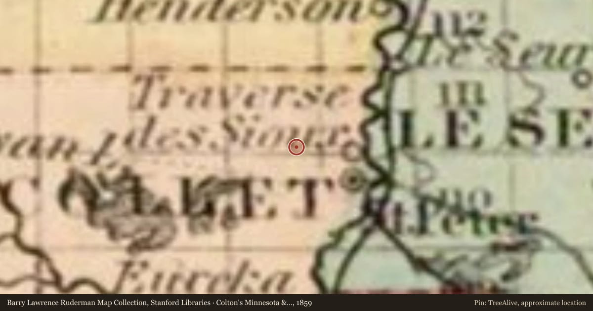
- 1859 · Colton's Minnesota & Dakota (1859) (Barry Lawrence Ruderman Map Collection, Stanford Libraries)
- 1869 · Johnson's Minnesota (1869) (Barry Lawrence Ruderman Map Collection, Stanford Libraries)
- 1870 · Burritt's Sectional Minnesota (1870) (Barry Lawrence Ruderman Map Collection, Stanford Libraries)
- 1873 · Minnesota. (David Rumsey Map Collection, Stanford Libraries)
For example, one family's tree showed the Articles of Confederation marker in Pennsylvania standing under a mile from where William Gabby lived in the 1760s.
What that marker records spans 1777 to 1789, overlapping William Gabby's years there.
Upload your family tree and TreeAlive finds the markers near where your own ancestors lived.
See your family's markersStart with a tree file, a FamilySearch sign in, or a WikiTree ID.
Report a problem with this page
At the marker right now? You can send us the spot you're standing on.
We may pass what you report to the state's marker program. Please don't include personal details.
More markers nearby
- Traverse des Sioux1 mi
- State Capitol2 mi
- Le Sueur8 mi
- Mayo Home8 mi