Cof Cymru: National Historic Assets of Wales · Wales
Osbourne House
Laugharne Township, Carmarthenshire, Wales
A Grade II listed building in Laugharne Township, Carmarthenshire, designated on 25 September 1986.
The record
- Designation
- Listed building, Grade II
- Broad class
- Domestic
- Date of designation
- 25 September 1986
- Community
- Laugharne Township
- Unitary authority
- Carmarthenshire
- Country
- Wales
- Coordinates
- 51.77162, -4.46276
- Cadw reference
- 9643
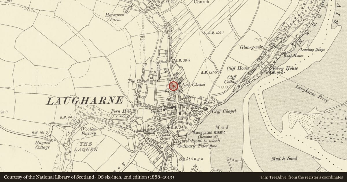
Slide toward Today to fade the historical sheet and see the modern map underneath.
David Rumsey Map Collection, Stanford LibrariesDavid Rumsey Map Collection, Stanford LibrariesDavid Rumsey Map Collection, Stanford LibrariesDavid Rumsey Map Collection, Stanford LibrariesDavid Rumsey Map Collection, Stanford Libraries
5 historical maps cover this location, the earliest the 1636 map "Cornubia : Devonia, Somersetus, Dorcestria, Wiltonia, Glocestria ..." (David Rumsey Map Collection, Stanford Libraries).
Historical maps covering this location
- 1636 · Cornubia : Devonia, Somersetus, Dorcestria, Wiltonia, Glocestria ... (David Rumsey Map Collection, Stanford Libraries)
- 1860 · 41. Caermathen. (David Rumsey Map Collection, Stanford Libraries)
- 1891 · Sheet 10. Ordnance Survey of England and Wales. . (David Rumsey Map Collection, Stanford Libraries)
- 1898 · 229 Carmarthen (Hills) (David Rumsey Map Collection, Stanford Libraries)
- 1920 · Sheet 100. Llanelly. (David Rumsey Map Collection, Stanford Libraries)
Cadw's description
Location
Set in a continuous row of frontages stepped up from Gainsford House to left.
Exterior
Later C18 Georgian 3-storey and basement 3-window roughcast front probably built as a pair with Minerva to right; Victoria alterations. Lowered modern tiled roof, bracket eaves, brick chimney stacks. Tripartitite windows, fixed to 2nd floor, sash to 1st and ground floors; bracketed cills and, to ground floor, Tudor hood moulds. Blocked windows to 1st and 2nd floors centre over arched entrance with pedimented and bracketed hood, dentiled cornice; 6-panel door and 4-pane fanlight.
Reason for designation
Group value.
Nearby in the register
- MinervaDomesticunder 1 mi
- Gainsford HouseCommercialunder 1 mi
- Telephone Call-boxCommunicationsunder 1 mi
- Redford HouseDomesticunder 1 mi
Other entries of the same register within about three miles of this one, by straight line.