Cof Cymru: National Historic Assets of Wales · Wales
S.T. & H.M. Huyton, Gents Outfitters
Knighton, Powys, Wales
A Grade II listed building in Knighton, Powys, designated on 30 September 1985.
The record
- Designation
- Listed building, Grade II
- Broad class
- Commercial
- Date of designation
- 30 September 1985
- Community
- Knighton
- Unitary authority
- Powys
- Country
- Wales
- Coordinates
- 52.34416, -3.04916
- Cadw reference
- 8968
Slide toward Today to fade the historical sheet and see the modern map underneath.
David Rumsey Map Collection, Stanford LibrariesDavid Rumsey Map Collection, Stanford LibrariesDavid Rumsey Map Collection, Stanford LibrariesDavid Rumsey Map Collection, Stanford LibrariesDavid Rumsey Map Collection, Stanford Libraries
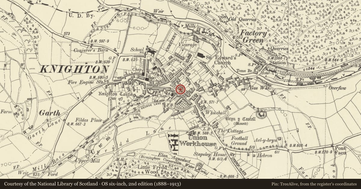
5 historical maps cover this location, the earliest the 1608 map "(13) Cambriae Typus." (David Rumsey Map Collection, Stanford Libraries).
Historical maps covering this location
- 1608 · (13) Cambriae Typus. (David Rumsey Map Collection, Stanford Libraries)
- 1637 · Particular description of Wales. Cambria seu Wallia (David Rumsey Map Collection, Stanford Libraries)
- 1883 · Watershed map England, Wales 3. (David Rumsey Map Collection, Stanford Libraries)
- 1899 · 180 Knighton (Hills) (David Rumsey Map Collection, Stanford Libraries)
- 1901 · Sheet 14. (David Rumsey Map Collection, Stanford Libraries)
Cadw's description
Location
Upper end of a continuous row of frontages stepping downhill opposite the George and Dragon PH.
History
Possibly C18
Exterior
2-storey and basement, 4-storey scribed render front. Slate roof, covered eaves, brick stack to centre rear. Moulded timber architraves with later 4-pane sash windows to 1st floor and one to ground right above boarded basement entrance. Double bayed shop front to centre with pilasters and later tiled stallrisers, bracket cornice, plain entablature, flat-headed entrance, glazed door with fanlight. Roughcast left side and brick extension to right with half hipped roof.
Reason for designation
Included for group value.
Nearby in the register
- S.T. & H.M. Hyton, Gents OutfittersCommercialunder 1 mi
- Elizabeth's Fashions & SolitaireCommercialunder 1 mi
- George and Dragon P.H.Commercialunder 1 mi
- Halifax Building Society & Radnor District Council OfficesCommercialunder 1 mi
Other entries of the same register within about three miles of this one, by straight line.