Cof Cymru: National Historic Assets of Wales · Wales
Halifax Building Society & Radnor District Council Offices
Knighton, Powys, Wales
A Grade II listed building in Knighton, Powys, designated on 30 September 1985.
The record
- Designation
- Listed building, Grade II
- Broad class
- Commercial
- Date of designation
- 30 September 1985
- Community
- Knighton
- Unitary authority
- Powys
- Country
- Wales
- Coordinates
- 52.34406, -3.04953
- Cadw reference
- 8963
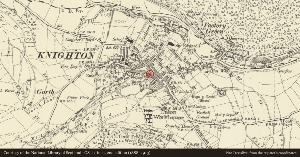
Slide toward Today to fade the historical sheet and see the modern map underneath.
David Rumsey Map Collection, Stanford LibrariesDavid Rumsey Map Collection, Stanford LibrariesDavid Rumsey Map Collection, Stanford LibrariesDavid Rumsey Map Collection, Stanford LibrariesDavid Rumsey Map Collection, Stanford Libraries
5 historical maps cover this location, the earliest the 1608 map "(13) Cambriae Typus." (David Rumsey Map Collection, Stanford Libraries).
Historical maps covering this location
- 1608 · (13) Cambriae Typus. (David Rumsey Map Collection, Stanford Libraries)
- 1637 · Particular description of Wales. Cambria seu Wallia (David Rumsey Map Collection, Stanford Libraries)
- 1883 · Watershed map England, Wales 3. (David Rumsey Map Collection, Stanford Libraries)
- 1899 · 180 Knighton (Hills) (David Rumsey Map Collection, Stanford Libraries)
- 1901 · Sheet 14. (David Rumsey Map Collection, Stanford Libraries)
Cadw's description
Location
One of a pair of buildings forward to the street and separated by a passage to site of Methodist Chapel.
History
Dated 1882
Exterior
Victorian Romanesque 3-storey patterned brick gable end set into slope of street. Tiled roof, gable parapet with finial. Light banded polychrome decoration to window arches, dark brick hoodmouldings and yellow brick quoins. 2 semi-circular-headed windows flank a higher blind arch (containing Prince of Wales' emblem) on 2nd floor, saw-toothed cornice below. 3 semi-circular-leaded cross windows to 1st floor with pilasters, nook shafts and flat foliage detail, cill band. Later slate roofed lean-to shop front with 3 semi-circular-leaded lights, similar to No 2. Doorway to right side.
Reason for designation
Group value.
Nearby in the register
- BookshopCommercialunder 1 mi
- George and Dragon P.H.Commercialunder 1 mi
- Elizabeth's Fashions & SolitaireCommercialunder 1 mi
- S.T. & H.M. Huyton, Gents OutfittersCommercialunder 1 mi
Other entries of the same register within about three miles of this one, by straight line.