Cof Cymru: National Historic Assets of Wales · Wales
Swan Hotel
Knighton, Powys, Wales
A Grade II listed building in Knighton, Powys, designated on 10 May 1970.
The record
- Designation
- Listed building, Grade II
- Broad class
- Commercial
- Date of designation
- 10 May 1970
- Community
- Knighton
- Unitary authority
- Powys
- Country
- Wales
- Coordinates
- 52.34331, -3.04770
- Cadw reference
- 8960
Slide toward Today to fade the historical sheet and see the modern map underneath.
David Rumsey Map Collection, Stanford LibrariesDavid Rumsey Map Collection, Stanford LibrariesDavid Rumsey Map Collection, Stanford LibrariesDavid Rumsey Map Collection, Stanford LibrariesDavid Rumsey Map Collection, Stanford Libraries
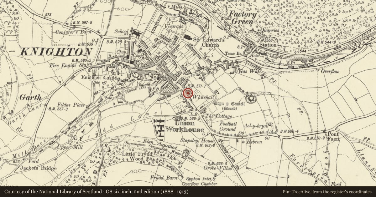
5 historical maps cover this location, the earliest the 1637 map "Particular description of Wales. Cambria seu Wallia" (David Rumsey Map Collection, Stanford Libraries).
Historical maps covering this location
- 1637 · Particular description of Wales. Cambria seu Wallia (David Rumsey Map Collection, Stanford Libraries)
- 1830 · V.3:11-15:XV.Britisches Reich. A. Kon: England. a. England ab sich: Shire:15-17, 33 (David Rumsey Map Collection, Stanford Libraries)
- 1883 · Watershed map England, Wales 3. (David Rumsey Map Collection, Stanford Libraries)
- 1899 · 180 Knighton (Hills) (David Rumsey Map Collection, Stanford Libraries)
- 1901 · Sheet 14. (David Rumsey Map Collection, Stanford Libraries)
Cadw's description
Location
Sited uphill on the main road south from the town centre.
Exterior
3-storey and basement, 3-bay C19 stucco front with C17 timber - framed cross-wing on right (possibly part of a larder C17 house).
Right-hand gable advanced to depth of 1 window and jettied, plain bargeboards to heightened slate roof, boxed bressumers on curved brackets studs to ground floor, casement windows, cellar entrance below decorative ironwork PH sign. Gablet to centre of front over paired casements and recessed entrance under flat timber canopy, half glazed door. Broad gable to left. Casement above 2-storey splayed bay window with wide hood linked to band course over ground floor. Rendered right side elevation with brick base, 5 gables, all with casement windows.
Nearby in the register
- RailingsDomesticunder 1 mi
- Lamp PostGardens, Parks and Urban Spacesunder 1 mi
- Old Mansion HouseDomesticunder 1 mi
- Norton Arms HotelCommercialunder 1 mi
Other entries of the same register within about three miles of this one, by straight line.