Cof Cymru: National Historic Assets of Wales · Wales
Former Dairy Building at Home Farm, Norton Manor
Presteigne, Powys, Wales
A Grade II listed building in Norton, Presteigne, Powys, designated on 26 March 1985.
The record
- Designation
- Listed building, Grade II
- Broad class
- Agriculture and Subsistence
- Date of designation
- 26 March 1985
- Locality
- Norton
- Community
- Presteigne
- Unitary authority
- Powys
- Country
- Wales
- Coordinates
- 52.28974, -3.02943
- Cadw reference
- 8938
Slide toward Today to fade the historical sheet and see the modern map underneath.
David Rumsey Map Collection, Stanford LibrariesDavid Rumsey Map Collection, Stanford LibrariesDavid Rumsey Map Collection, Stanford LibrariesDavid Rumsey Map Collection, Stanford LibrariesDavid Rumsey Map Collection, Stanford Libraries
5 historical maps cover this location, the earliest the 1637 map "Particular description of Wales. Cambria seu Wallia" (David Rumsey Map Collection, Stanford Libraries).
Historical maps covering this location
- 1637 · Particular description of Wales. Cambria seu Wallia (David Rumsey Map Collection, Stanford Libraries)
- 1830 · V.3:11-15:XV.Britisches Reich. A. Kon: England. a. England ab sich: Shire:15-17, 33 (David Rumsey Map Collection, Stanford Libraries)
- 1883 · Watershed map England, Wales 3. (David Rumsey Map Collection, Stanford Libraries)
- 1899 · 180 Knighton (Hills) (David Rumsey Map Collection, Stanford Libraries)
- 1901 · Sheet 14. (David Rumsey Map Collection, Stanford Libraries)
Cadw's description
Location
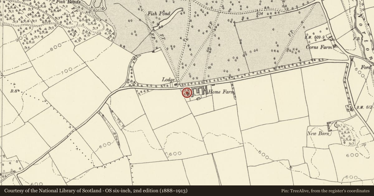
Immediately to the west of Home Farm on a by-road to Ackhill, and opposite the lodge at the former south driveway to Norton Manor House.
History
About 1900.
Exterior
One-storey detached rubble building with brick eaves, hipped tiled roofs with cresting and timber finial. Oval-plan structure towards road (containing former dairy) with wooden shutters to sash windows in ashlar surrounds. Wash-house attached to south with rubble chimney stack, lower tiled roof and oversailing eaves forming a wrap-round verandah with timberwork supports, 2 small gabled doorways with ornamental timberwork, plain boarded doors under. Interior of former dairy retains diamond tiled floor and segmental slate shelves at each end.
Nearby in the register
- Norton Manor HouseDomesticunder 1 mi
- Former Coach-house and Stables at Norton Manor HouseDomesticunder 1 mi
- The CottageDomesticunder 1 mi
- 6 The TerraceDomesticunder 1 mi
Other entries of the same register within about three miles of this one, by straight line.