Cof Cymru: National Historic Assets of Wales · Wales
Thomson
Brecon, Powys, Wales
A Grade II listed building in Brecon, Powys, designated on 4 November 2005.
The record
- Designation
- Listed building, Grade II
- Broad class
- Domestic
- Date of designation
- 4 November 2005
- Town
- Brecon
- Community
- Brecon
- Unitary authority
- Powys
- Country
- Wales
- Coordinates
- 51.94698, -3.38982
- Cadw reference
- 85759
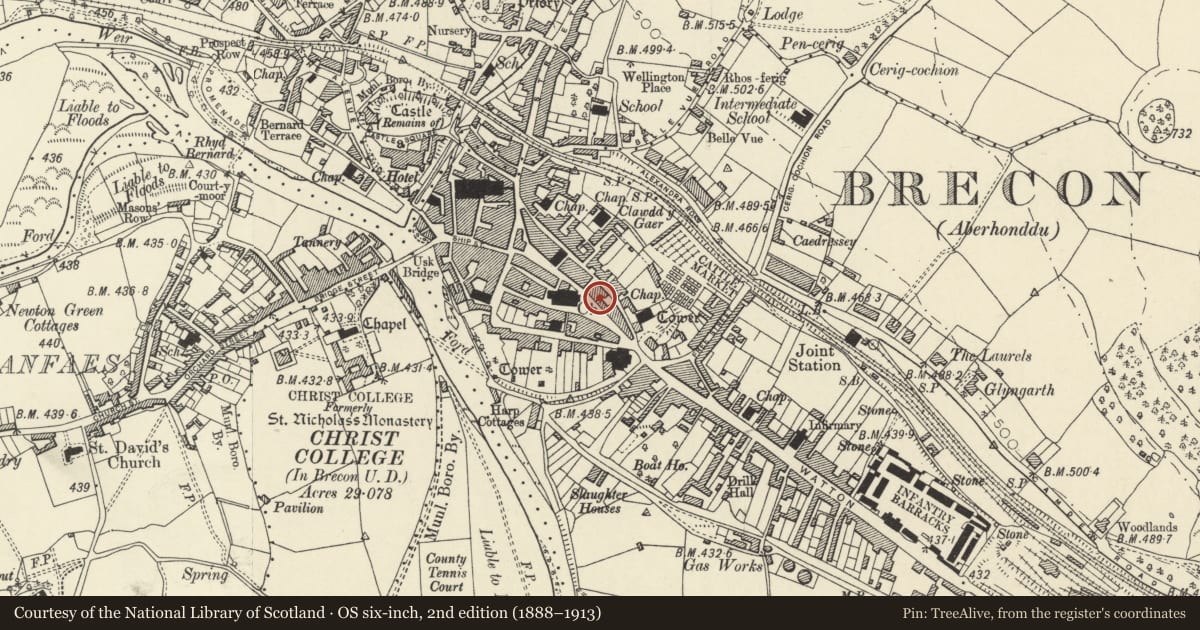
Slide toward Today to fade the historical sheet and see the modern map underneath.
David Rumsey Map Collection, Stanford LibrariesDavid Rumsey Map Collection, Stanford LibrariesDavid Rumsey Map Collection, Stanford LibrariesDavid Rumsey Map Collection, Stanford LibrariesDavid Rumsey Map Collection, Stanford Libraries
5 historical maps cover this location, the earliest the 1608 map "(13) Cambriae Typus." (David Rumsey Map Collection, Stanford Libraries).
Historical maps covering this location
- 1608 · (13) Cambriae Typus. (David Rumsey Map Collection, Stanford Libraries)
- 1636 · Cornubia : Devonia, Somersetus, Dorcestria, Wiltonia, Glocestria ... (David Rumsey Map Collection, Stanford Libraries)
- 1856 · 42. Brecon. (David Rumsey Map Collection, Stanford Libraries)
- 1898 · 213 Brecon (Hills) (David Rumsey Map Collection, Stanford Libraries)
- 1901 · Sheet 14. (David Rumsey Map Collection, Stanford Libraries)
Cadw's description
Location
Opposite Wellington Monument.
History
Later C19 building.
Exterior
Shop with accommodation above. Three storeys plus attic, three window front, painted brick. Slate roof.
Large gabled dormer with paired sash windows. Second floor and first floors have three 4-pane sash windows with shaped lintels. C20 shopfront to ground floor has entrance to shop recessed to R, and display windows to L, all framed by end pilasters, fascia board and cornice.
Reason for designation
Included for Group Value with adjacent listed buildings on both sides of The Bulwark.
Nearby in the register
- NiblettsDomesticunder 1 mi
- Beacon PharmacyCommercialunder 1 mi
- Nibletts and Salad BowlDomesticunder 1 mi
- 8 The BulwarkCommercialunder 1 mi
Other entries of the same register within about three miles of this one, by straight line.