Cof Cymru: National Historic Assets of Wales · Wales
Talerddig Bakery including Tourist Information Centre
Llanidloes, Powys, Wales
A Grade II listed building in Llanidloes, Powys, designated on 10 April 1989.
The record
- Designation
- Listed building, Grade II
- Broad class
- Commercial
- Date of designation
- 10 April 1989
- Community
- Llanidloes
- Unitary authority
- Powys
- Country
- Wales
- Coordinates
- 52.44944, -3.53967
- Cadw reference
- 8329
Slide toward Today to fade the historical sheet and see the modern map underneath.
David Rumsey Map Collection, Stanford LibrariesDavid Rumsey Map Collection, Stanford LibrariesDavid Rumsey Map Collection, Stanford LibrariesDavid Rumsey Map Collection, Stanford LibrariesDavid Rumsey Map Collection, Stanford Libraries
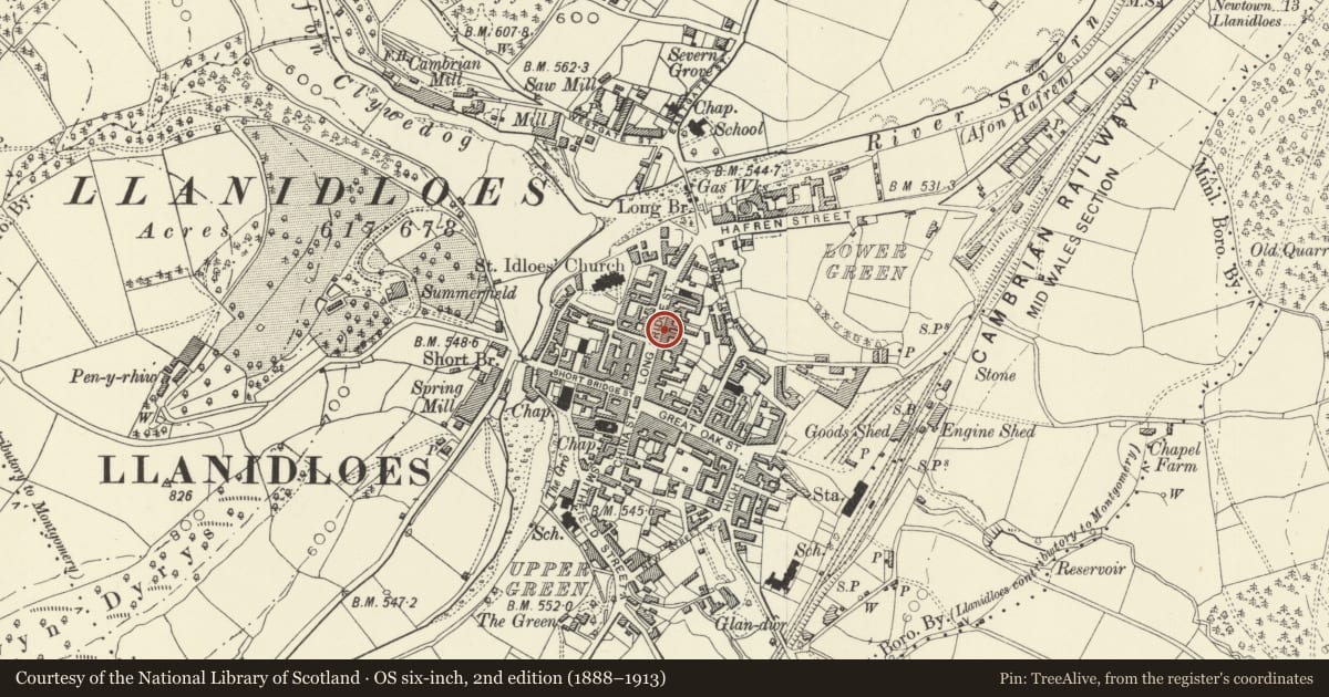
5 historical maps cover this location, the earliest the 1608 map "(13) Cambriae Typus." (David Rumsey Map Collection, Stanford Libraries).
Historical maps covering this location
- 1608 · (13) Cambriae Typus. (David Rumsey Map Collection, Stanford Libraries)
- 1637 · Particular description of Wales. Cambria seu Wallia (David Rumsey Map Collection, Stanford Libraries)
- 1883 · Watershed map England, Wales 3. (David Rumsey Map Collection, Stanford Libraries)
- 1899 · 164 Llanidloes (Hills) (David Rumsey Map Collection, Stanford Libraries)
- 1901 · Sheet 14. (David Rumsey Map Collection, Stanford Libraries)
Cadw's description
Location
Set into a row of street frontages, stepped back from the Crown and Anchor PH at left.
History
Mid C19 front to probably C17 vernacular structure.
Exterior
2-storey, 2-window whitewashed brick front with painted plinth; old slate roof, red brick chimney stack to left and taller square stack rising up from rear cross range; overhanging eaves. 6-pane sashes to 1st floor and ground floor right. Shop front has plain fascia and pilasters flanking 6-pane window and twinned doorways under overall cornice. Semicircular arched opening at extreme left leads into tunnel passage; broken boarded gate. Single storey and attic cross range at rear in poor condition with corrugated rear gable where other cottages formerly adjoined.
Interior
Interior has tightly winding staircase and plain timbers.
Reason for designation
Included for group value with Nos 42 and 44 to 46.
Nearby in the register
- 44 Bridge StreetCommercialunder 1 mi
- Clywedog HouseCommercialunder 1 mi
- Crown & Anchor P.H.Commercialunder 1 mi
- Elephant HotelCommercialunder 1 mi
Other entries of the same register within about three miles of this one, by straight line.