Cof Cymru: National Historic Assets of Wales · Wales
Twrch Brook culvert and overflow sluice on the Neath Canal
Clyne and Melincourt, Neath Port Talbot, Wales
A Grade II listed building in Clyne, Neath, Clyne and Melincourt, Neath Port Talbot, designated on 12 December 2003.
The record
- Designation
- Listed building, Grade II
- Broad class
- Transport
- Date of designation
- 12 December 2003
- Locality
- Clyne
- Town
- Neath
- Community
- Clyne and Melincourt
- Unitary authority
- Neath Port Talbot
- Country
- Wales
- Coordinates
- 51.68927, -3.73893
- Cadw reference
- 82289
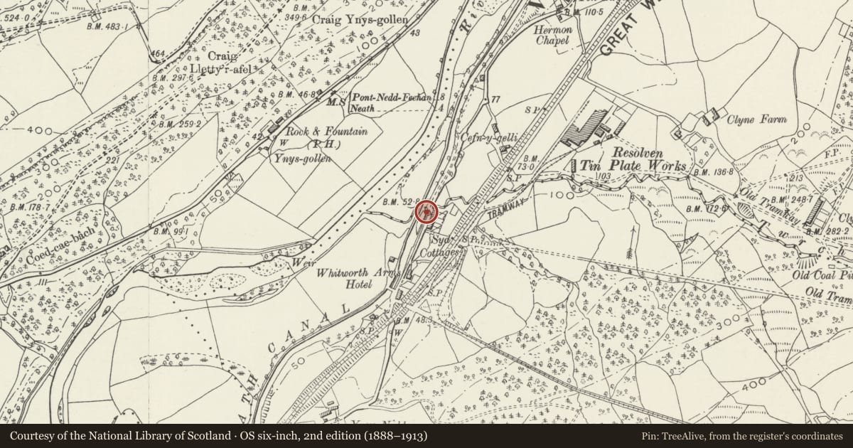
Slide toward Today to fade the historical sheet and see the modern map underneath.
David Rumsey Map Collection, Stanford LibrariesDavid Rumsey Map Collection, Stanford LibrariesDavid Rumsey Map Collection, Stanford LibrariesDavid Rumsey Map Collection, Stanford LibrariesDavid Rumsey Map Collection, Stanford Libraries
5 historical maps cover this location, the earliest the 1608 map "(13) Cambriae Typus." (David Rumsey Map Collection, Stanford Libraries).
Historical maps covering this location
- 1608 · (13) Cambriae Typus. (David Rumsey Map Collection, Stanford Libraries)
- 1636 · Cornubia : Devonia, Somersetus, Dorcestria, Wiltonia, Glocestria ... (David Rumsey Map Collection, Stanford Libraries)
- 1637 · The fourth table of England. Cornub. Devonia, Somerset etc. (David Rumsey Map Collection, Stanford Libraries)
- 1830 · V.3:11-15:XV. Britisches Reich. A. Kon: England. b. Frstenthum Wales: Shire: 37-40 (David Rumsey Map Collection, Stanford Libraries)
- 1865 · England and Wales. England No. 6. (David Rumsey Map Collection, Stanford Libraries)
Cadw's description
Location
At the NE end of Clyne Upper Lock on the Neath Canal just W of Cyd Terrace.
History
Small late C18 culvert, with overflow sluice, taking the Twrch Brook under the B4434 and the Neath Canal. The canal was originally planned from Pontneddfechan to Neath and was started in 1791 with Thomas Dadford Junior as General Surveyor. Thomas Sheasby replaced him in mid 1792 and the Neath Canal was completed in 1795. By 1799 the canal had been extended to the Giant's Grave near Briton Ferry.
Exterior
Rubble stone low tunnel with segmental arch and sluice opening downstream under high rubble stone embanking wall. Arch has thin stone voussoirs, some now eroded, with square sluice outlet above with large stone lintel. Walling is of squared stone laid in courses with no parapet. Canal side has sluice control mechanism with wooden frame and metal gate. Upstream side on E side of road is much lower with small segmental arch and C20 low wall and white painted railings.
Reason for designation
Included for its special historic interest as a substantial masonry feature on an important late C18 canal.
Nearby in the register
- Milestone on B4242, 100m east of Rock & Fountain PHTransportunder 1 mi
- Bridge over Neath Canal SW of Ynys Nedd FarmTransportunder 1 mi
- Pen-Rhiw-Angharad Round CairnsCairnfieldunder 1 mi
- Blaen-Cwmbach CampMarching Campunder 1 mi
Other entries of the same register within about three miles of this one, by straight line.