Cof Cymru: National Historic Assets of Wales · Wales
Gates, gate piers, walls and railings at Church of Saint Cattwg
Blaenhonddan, Neath Port Talbot, Wales
A Grade II listed building in Cadoxton-Juxta-Neath, Neath, Blaenhonddan, Neath Port Talbot, designated on 26 November 2003.
The record
- Designation
- Listed building, Grade II
- Broad class
- Religious, Ritual and Funerary
- Date of designation
- 26 November 2003
- Locality
- Cadoxton-Juxta-Neath
- Town
- Neath
- Community
- Blaenhonddan
- Unitary authority
- Neath Port Talbot
- Country
- Wales
- Coordinates
- 51.67231, -3.80102
- Cadw reference
- 82085
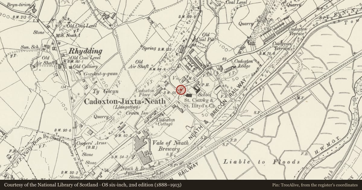
Slide toward Today to fade the historical sheet and see the modern map underneath.
David Rumsey Map Collection, Stanford LibrariesDavid Rumsey Map Collection, Stanford LibrariesDavid Rumsey Map Collection, Stanford LibrariesDavid Rumsey Map Collection, Stanford LibrariesDavid Rumsey Map Collection, Stanford Libraries
5 historical maps cover this location, the earliest the 1636 map "Cornubia : Devonia, Somersetus, Dorcestria, Wiltonia, Glocestria ..." (David Rumsey Map Collection, Stanford Libraries).
Historical maps covering this location
- 1636 · Cornubia : Devonia, Somersetus, Dorcestria, Wiltonia, Glocestria ... (David Rumsey Map Collection, Stanford Libraries)
- 1637 · The fourth table of England. Cornub. Devonia, Somerset etc. (David Rumsey Map Collection, Stanford Libraries)
- 1865 · England and Wales. England No. 6. (David Rumsey Map Collection, Stanford Libraries)
- 1891 · Sheet 10. Ordnance Survey of England and Wales. . (David Rumsey Map Collection, Stanford Libraries)
- 1897 · 247 Swansea (Hills) (David Rumsey Map Collection, Stanford Libraries)
Cadw's description
Location
On the NE, NW and SW sides of the churchyard on the SE side of Church Road.
History
Churchyard gates and railings probably early to mid C19 enclosing NE and NW sides of churchyard.
Exterior
Churchyard walls of rubble stone with heavy coping carrying short iron railings with spearhead finials and urns to stanchions. Entrance gates on NE side have sandstone ashlar piers with plinths and pyramid caps, double iron gates each with mid rail between opposed curved strengthening bars, spearheads and urns to hanging stile. Some 22m length of railing to left, to right railings curve around to N pedestrian gate with matching ironwork and shortened piers and then continue some 10 m around to another set of double gates at SW but piers with wrought iron overthrow and lampholder. Final length of some 10m of railings to right, along Birch Lane.
Reason for designation
Included as good set of C19 iron railings and gates, of group value with Church of St Cattwg.
Nearby in the register
- Monument in churchyard of St CattwgReligious, Ritual and Funeraryunder 1 mi
- Church of Saint CattwgReligious, Ritual and Funeraryunder 1 mi
- Milestone on A4230Transportunder 1 mi
- Bridge over Tennant Canal SE of the Church of Saint CattwgTransportunder 1 mi
Other entries of the same register within about three miles of this one, by straight line.