Cof Cymru: National Historic Assets of Wales · Wales
Gate and walled railings at Bangor Lodge
Pentraeth, Isle of Anglesey, Wales
A Grade II listed building in Plas Gwyn Estate, Pentraeth, Isle of Anglesey, designated on 14 January 2003.
The record
- Designation
- Listed building, Grade II
- Broad class
- Gardens, Parks and Urban Spaces
- Date of designation
- 14 January 2003
- Locality
- Plas Gwyn Estate
- Community
- Pentraeth
- Unitary authority
- Isle of Anglesey
- Country
- Wales
- Coordinates
- 53.27335, -4.21150
- Cadw reference
- 80828
Slide toward Today to fade the historical sheet and see the modern map underneath.
David Rumsey Map Collection, Stanford LibrariesDavid Rumsey Map Collection, Stanford LibrariesDavid Rumsey Map Collection, Stanford LibrariesDavid Rumsey Map Collection, Stanford LibrariesDavid Rumsey Map Collection, Stanford Libraries
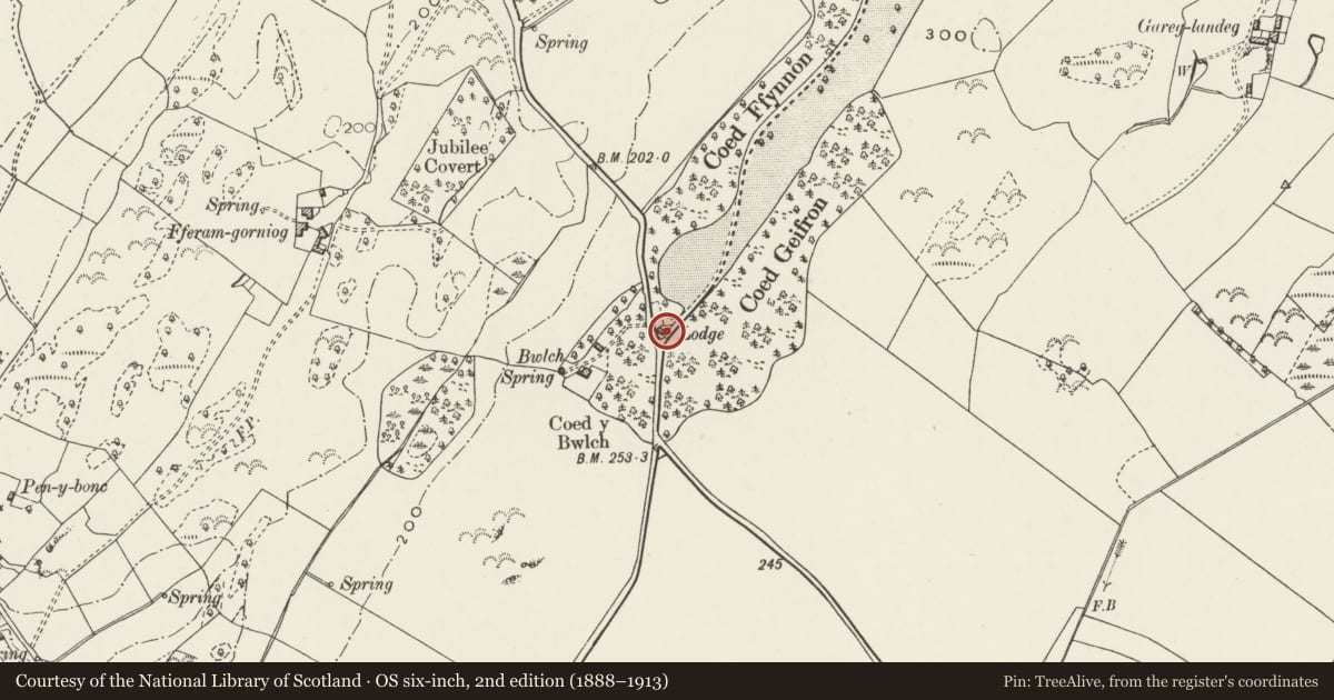
5 historical maps cover this location, the earliest the 1883 map "Watershed map England, Wales 3." (David Rumsey Map Collection, Stanford Libraries).
Historical maps covering this location
- 1883 · Watershed map England, Wales 3. (David Rumsey Map Collection, Stanford Libraries)
- 1896 · Sheet 7. Ordnance Survey of England and Wales. (David Rumsey Map Collection, Stanford Libraries)
- 1899 · 94 Beaumaris (Hills) (David Rumsey Map Collection, Stanford Libraries)
- 1901 · Sheet 9 and 10. (David Rumsey Map Collection, Stanford Libraries)
- 1919 · Sheet 41. Anglesey. (David Rumsey Map Collection, Stanford Libraries)
Cadw's description
Location
Set back from the NW side of the A5025 on its S approach to the village of Pentraeth. The gate, walls and railings are located along the side of the road to S and E of the adjacent lodge.
History
C19 gate and walled railings, probably contemporary with the lodge for which they were built, but possibly mid C19, contemporary with the later (Beaumaris) lodge built for the re-routed driveway in the 1840s.
Exterior
Low dressed stone wall with raking coping, surmounted by railings with arrowhead finials. Each wall is terminated by square piers with pyramidal capping. The C19 timber gate is hung by long hinges to R. The openings between the uprights are open and decorated; the central stile with quatrefoils, arched below and with cusped tracery above.
Reason for designation
Included as good C19 gate, wall and railings at the entrance to one of the former driveways up to Plas Gwyn. With the adjacent lodge, an integral part of the Plas Gwyn Estate.
Nearby in the register
- Bangor LodgeDomesticunder 1 mi
- Fferam GorniogDomesticunder 1 mi
- Gardener's cottage and walled garden at Plas GwynGardens, Parks and Urban Spacesunder 1 mi
- Barn at Plas GwynAgriculture and Subsistenceunder 1 mi
Other entries of the same register within about three miles of this one, by straight line.