Cof Cymru: National Historic Assets of Wales · Wales
Salmon Flat
Crickhowell, Powys, Wales
A Grade II listed building in Crickhowell, Powys, designated on 25 September 1986.
The record
- Designation
- Listed building, Grade II
- Broad class
- Domestic
- Date of designation
- 25 September 1986
- Community
- Crickhowell
- Unitary authority
- Powys
- Country
- Wales
- Coordinates
- 51.85714, -3.14070
- Cadw reference
- 7181
Slide toward Today to fade the historical sheet and see the modern map underneath.
David Rumsey Map Collection, Stanford LibrariesDavid Rumsey Map Collection, Stanford LibrariesDavid Rumsey Map Collection, Stanford LibrariesDavid Rumsey Map Collection, Stanford LibrariesDavid Rumsey Map Collection, Stanford Libraries
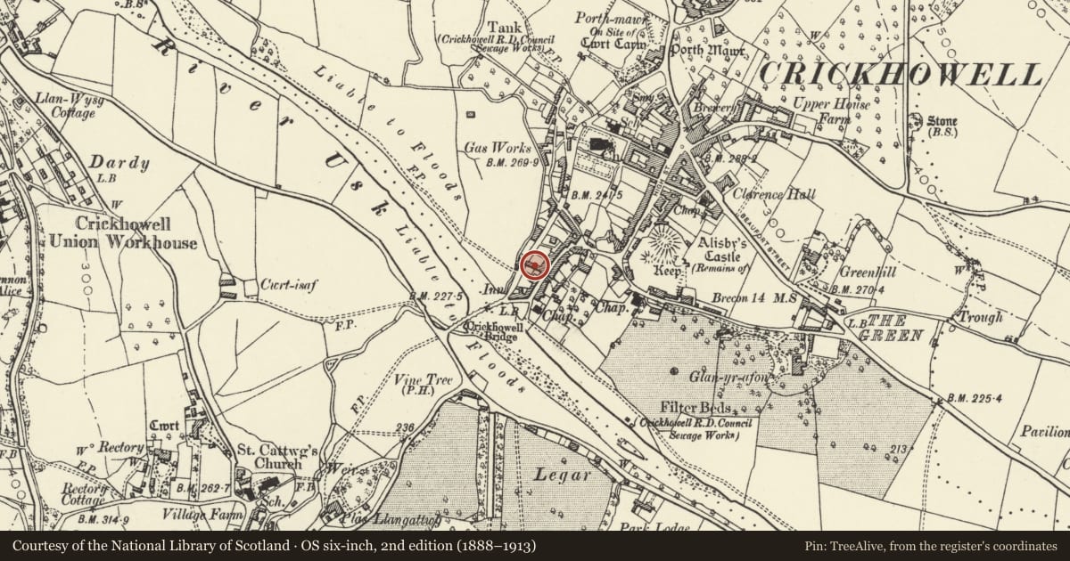
5 historical maps cover this location, the earliest the 1636 map "Cornubia : Devonia, Somersetus, Dorcestria, Wiltonia, Glocestria ..." (David Rumsey Map Collection, Stanford Libraries).
Historical maps covering this location
- 1636 · Cornubia : Devonia, Somersetus, Dorcestria, Wiltonia, Glocestria ... (David Rumsey Map Collection, Stanford Libraries)
- 1856 · 42. Brecon. (David Rumsey Map Collection, Stanford Libraries)
- 1898 · 232 Abergavenny (Hills) (David Rumsey Map Collection, Stanford Libraries)
- 1898 · 232 Abergavenny (Outline) (David Rumsey Map Collection, Stanford Libraries)
- 1901 · Sheet 14. (David Rumsey Map Collection, Stanford Libraries)
Cadw's description
Location
Set into a continuous row of frontages stepped in the slope; cobbled pavement to front.
Exterior
Mid to late C19 2-storey 4-window roughcast front with central pilaster strip; part of the earlier C19 (on 1840 Tithe Map) former Salmon Court, at one time a hotel; Broad cross gable to right. Slate roof, wide boarded eaves, plain bargeboards to gable; roughcast and brick chimney stacks. Recessed tripartite and 12-pane sash windows, mostly with cambered heads. Pedimented hood to modern door.
Reason for designation
Group value.
Nearby in the register
- Salmons HouseDomesticunder 1 mi
- 28 Bridge StreetDomesticunder 1 mi
- Talbot HouseDomesticunder 1 mi
- Talbot PlaceDomesticunder 1 mi
Other entries of the same register within about three miles of this one, by straight line.