Cof Cymru: National Historic Assets of Wales · Wales
109 Mostyn Street
Llandudno, Conwy, Wales
A Grade II listed building in Llandudno, Conwy, designated on 16 March 1976.
The record
- Designation
- Listed building, Grade II
- Broad class
- Commercial
- Date of designation
- 16 March 1976
- Locality
- Llandudno
- Community
- Llandudno
- Unitary authority
- Conwy
- Country
- Wales
- Coordinates
- 53.32521, -3.83112
- Cadw reference
- 5830
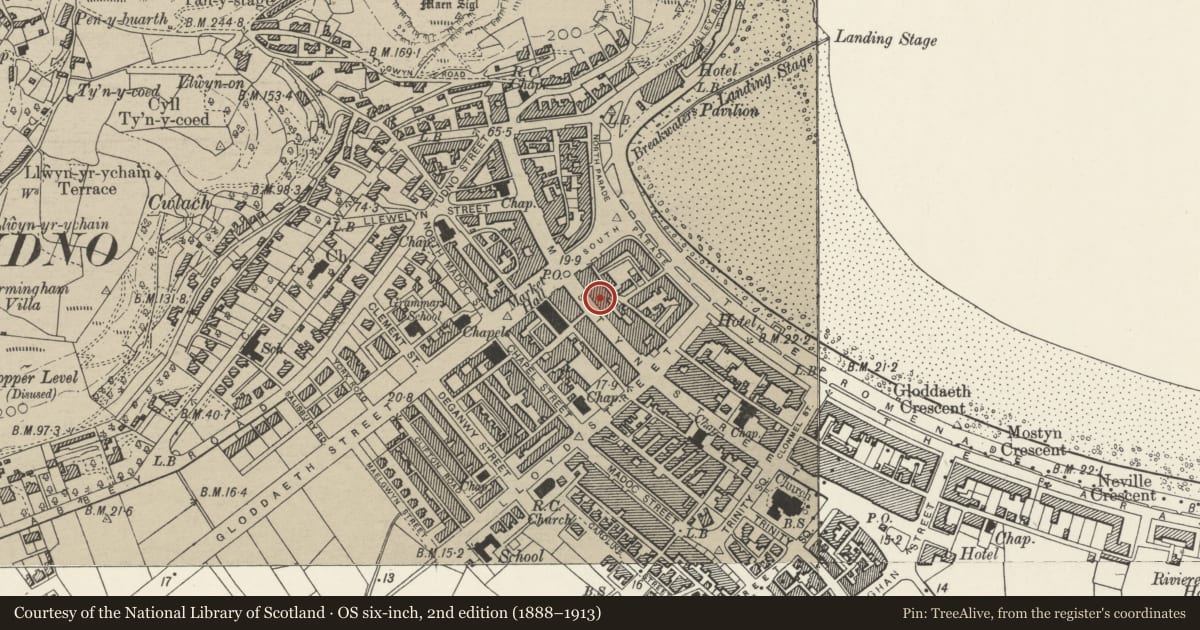
Slide toward Today to fade the historical sheet and see the modern map underneath.
David Rumsey Map Collection, Stanford LibrariesDavid Rumsey Map Collection, Stanford LibrariesDavid Rumsey Map Collection, Stanford LibrariesNational Library of ScotlandNational Library of Scotland
5 historical maps cover this location, the earliest the 1883 map "Watershed map England, Wales 3." (David Rumsey Map Collection, Stanford Libraries).
Historical maps covering this location
- 1883 · Watershed map England, Wales 3. (David Rumsey Map Collection, Stanford Libraries)
- 1885 · OS One-Inch (Hills) 1885-1903 (National Library of Scotland)
- 1899 · 94 Beaumaris (Hills) (David Rumsey Map Collection, Stanford Libraries)
- 1901 · Sheet 9 and 10. (David Rumsey Map Collection, Stanford Libraries)
- 1930 · OS Popular Edition 1919-1947 (National Library of Scotland)
Cadw's description
Location
About 40m from junction with South Parade.
Exterior
Three storey C19 building with stuccoed front elevation of three bays. Crowning cornice and blocking course. Modern windows imitating sash windows without glazing bars. Plate glass shop front. Late C19 to early C20 cast-iron veranda; this is of two bays with lean-to roof and has twisted columns with capitals and spandrils.
Reason for designation
Included as part of a group of C19 buildings with good verandahs on towns main commercial street. Group value.
Nearby in the register
- TandyDomesticunder 1 mi
- 107 Mostyn StreetCommercialunder 1 mi
- Woolworth'sCommercialunder 1 mi
- Yorkshire Building SocietyCommercialunder 1 mi
Other entries of the same register within about three miles of this one, by straight line.