Cof Cymru: National Historic Assets of Wales · Wales
Woolworth's
Llandudno, Conwy, Wales
A Grade II listed building in Llandudno, Conwy, designated on 16 March 1976.
The record
- Designation
- Listed building, Grade II
- Broad class
- Commercial
- Date of designation
- 16 March 1976
- Locality
- Llandudno
- Community
- Llandudno
- Unitary authority
- Conwy
- Country
- Wales
- Coordinates
- 53.32536, -3.83126
- Cadw reference
- 5832
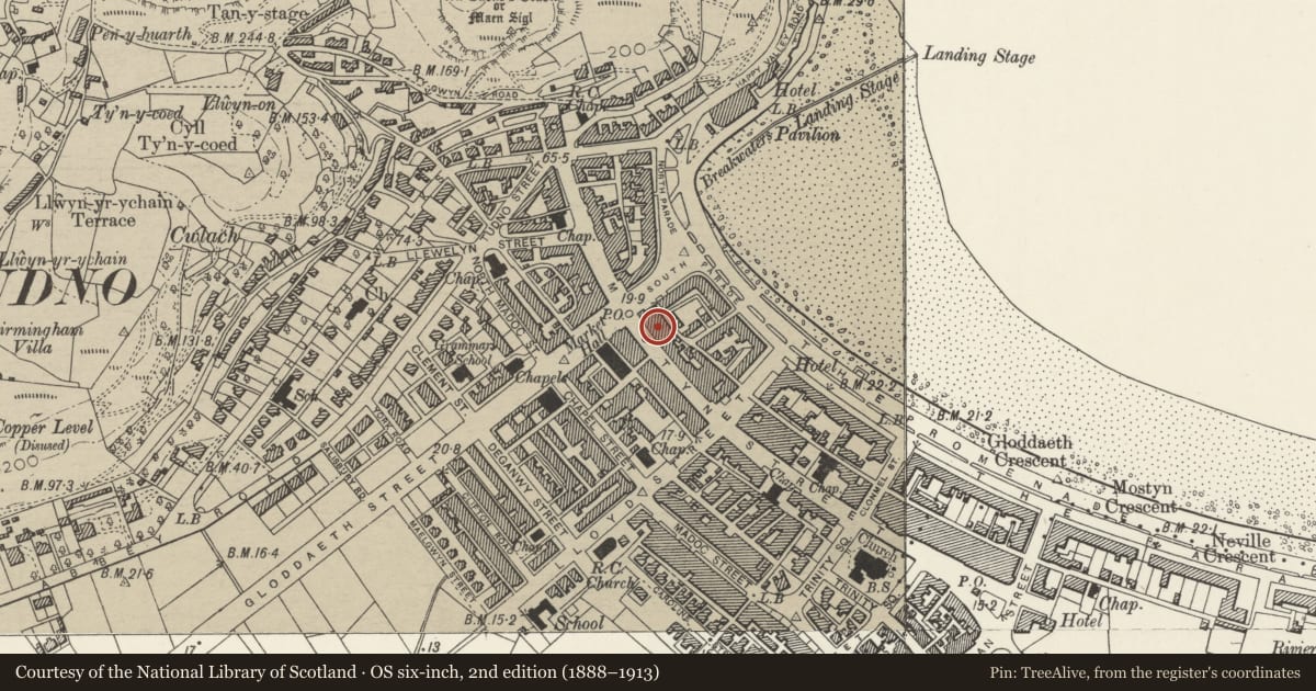
Slide toward Today to fade the historical sheet and see the modern map underneath.
David Rumsey Map Collection, Stanford LibrariesDavid Rumsey Map Collection, Stanford LibrariesDavid Rumsey Map Collection, Stanford LibrariesNational Library of ScotlandNational Library of Scotland
5 historical maps cover this location, the earliest the 1883 map "Watershed map England, Wales 3." (David Rumsey Map Collection, Stanford Libraries).
Historical maps covering this location
- 1883 · Watershed map England, Wales 3. (David Rumsey Map Collection, Stanford Libraries)
- 1885 · OS One-Inch (Hills) 1885-1903 (National Library of Scotland)
- 1899 · 94 Beaumaris (Hills) (David Rumsey Map Collection, Stanford Libraries)
- 1901 · Sheet 9 and 10. (David Rumsey Map Collection, Stanford Libraries)
- 1930 · OS Popular Edition 1919-1947 (National Library of Scotland)
Cadw's description
Location
Attached to R of Carlton public house.
History
Inter-war building, similar to many Woolworth stores in UK, replacing 3 C19 buildings, nos 113, 115 and 117.
Exterior
Three storey building with red-brick front elevation of eight windows grouped 4-3-1; painted dressings. Classical detailing. Asymmetrical front. Parapet and cornice. Three windows are grouped under a shallow pediment, and flanked by pilasters. Four windows to L, and one to R. Cast-iron veranda of late C19 to early C20 date; five bays with very slender iron columns with capitals and with cresting at the soffit extending for the width of the bay between each column.
Reason for designation
Included for the contribution of its verandah to Mostyn Street. Group value.
Nearby in the register
- TandyDomesticunder 1 mi
- Carlton PHCommercialunder 1 mi
- 109 Mostyn StreetCommercialunder 1 mi
- 15 South Parade, including VerandahCommercialunder 1 mi
Other entries of the same register within about three miles of this one, by straight line.