Cof Cymru: National Historic Assets of Wales · Wales
Glasfor, Gwynfor & Uwch-y-Don
Aberdaron, Gwynedd, Wales
A Grade II listed building in Aberdaron, Gwynedd, designated on 19 October 1971.
The record
- Designation
- Listed building, Grade II
- Broad class
- Domestic
- Date of designation
- 19 October 1971
- Locality
- Aberdaron
- Community
- Aberdaron
- Unitary authority
- Gwynedd
- Country
- Wales
- Coordinates
- 52.80405, -4.71292
- Cadw reference
- 4230
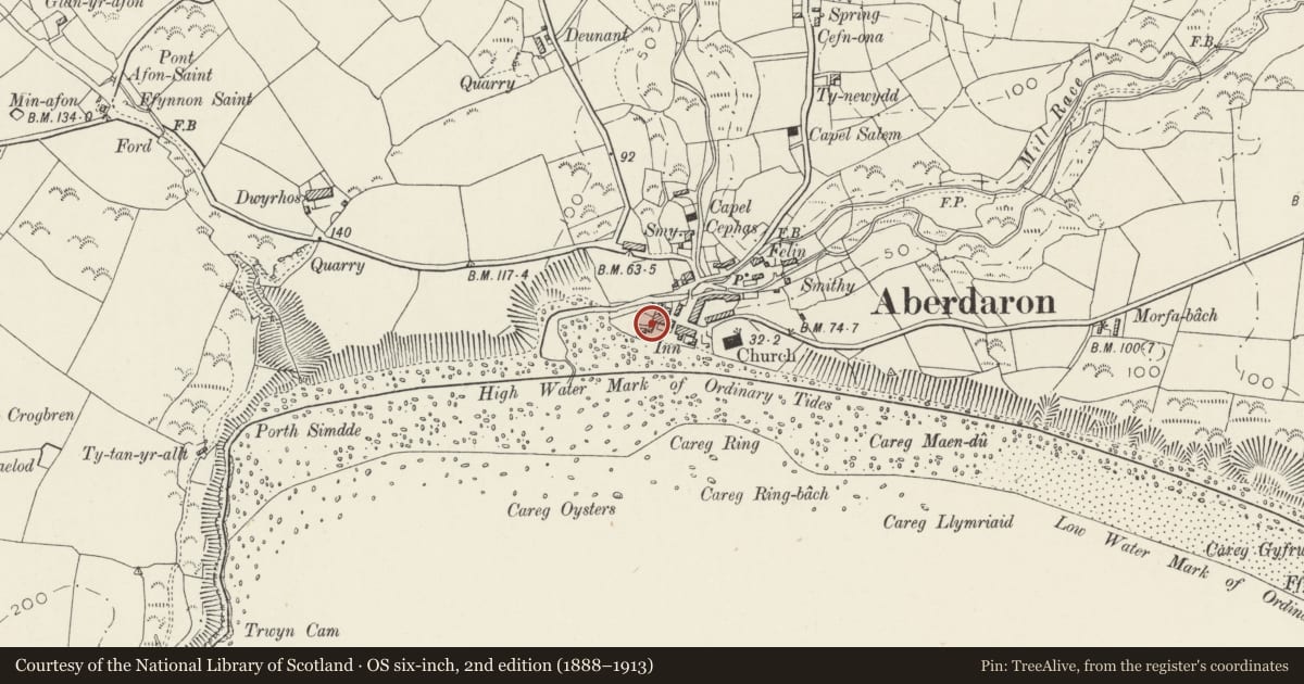
Slide toward Today to fade the historical sheet and see the modern map underneath.
David Rumsey Map Collection, Stanford LibrariesDavid Rumsey Map Collection, Stanford LibrariesDavid Rumsey Map Collection, Stanford LibrariesDavid Rumsey Map Collection, Stanford LibrariesDavid Rumsey Map Collection, Stanford Libraries
5 historical maps cover this location, the earliest the 1608 map "(13) Cambriae Typus." (David Rumsey Map Collection, Stanford Libraries).
Historical maps covering this location
- 1608 · (13) Cambriae Typus. (David Rumsey Map Collection, Stanford Libraries)
- 1637 · Particular description of Wales. Cambria seu Wallia (David Rumsey Map Collection, Stanford Libraries)
- 1883 · Watershed map England, Wales 3. (David Rumsey Map Collection, Stanford Libraries)
- 1898 · 133 Bardsey Island (Hills) (David Rumsey Map Collection, Stanford Libraries)
- 1901 · Sheet 9 and 10. (David Rumsey Map Collection, Stanford Libraries)
Cadw's description
Exterior
Row of 3 cottages, 1 window each, 2 storeys including half dormers at 1st floor. Rendered walls. Slate roofs. Group value.
LIST DESCRIPTION NOT AMENDED AT TIME OF COMMUNITY RESURVEY
Nearby in the register
- The Post OfficeDomesticunder 1 mi
- Y Gegin FawrDomesticunder 1 mi
- Pont FawrTransportunder 1 mi
- Row of 5 Cottages North of & opposite Church of St HywynDomesticunder 1 mi
Other entries of the same register within about three miles of this one, by straight line.