Cof Cymru: National Historic Assets of Wales · Wales
Y Gegin Fawr
Aberdaron, Gwynedd, Wales
A Grade II listed building in Aberdaron, Pwllheli, Gwynedd, designated on 19 October 1971.
The record
- Designation
- Listed building, Grade II
- Broad class
- Domestic
- Date of designation
- 19 October 1971
- Locality
- Aberdaron
- Town
- Pwllheli
- Community
- Aberdaron
- Unitary authority
- Gwynedd
- Country
- Wales
- Coordinates
- 52.80422, -4.71241
- Cadw reference
- 4229
Slide toward Today to fade the historical sheet and see the modern map underneath.
David Rumsey Map Collection, Stanford LibrariesDavid Rumsey Map Collection, Stanford LibrariesDavid Rumsey Map Collection, Stanford LibrariesDavid Rumsey Map Collection, Stanford LibrariesDavid Rumsey Map Collection, Stanford Libraries
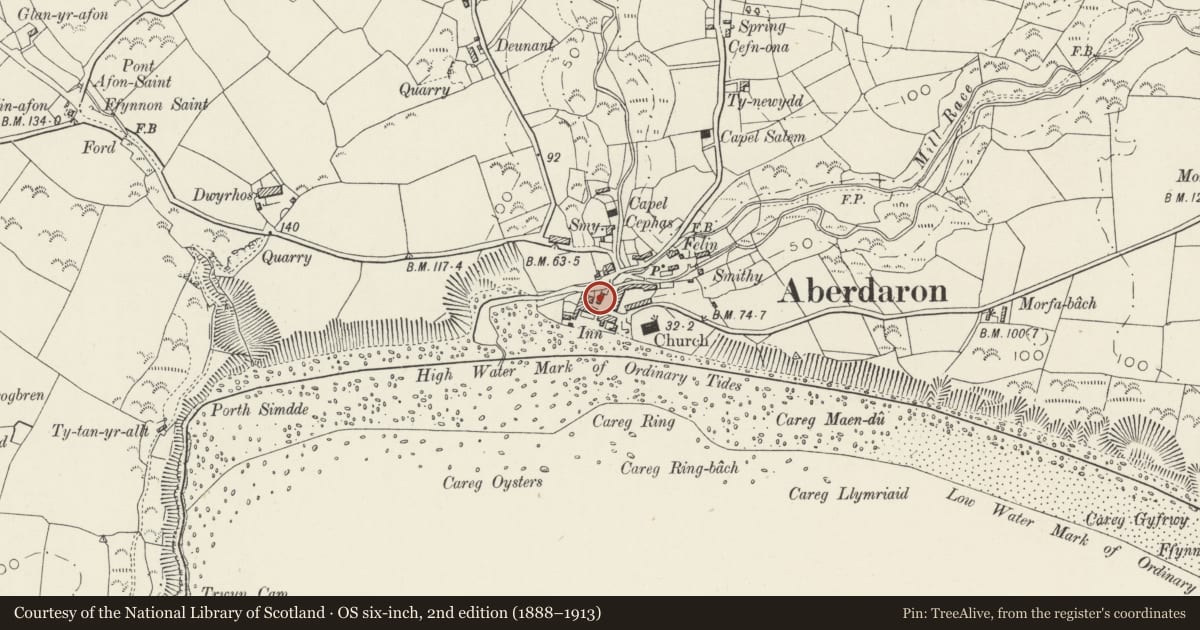
5 historical maps cover this location, the earliest the 1608 map "(13) Cambriae Typus." (David Rumsey Map Collection, Stanford Libraries).
Historical maps covering this location
- 1608 · (13) Cambriae Typus. (David Rumsey Map Collection, Stanford Libraries)
- 1637 · Particular description of Wales. Cambria seu Wallia (David Rumsey Map Collection, Stanford Libraries)
- 1883 · Watershed map England, Wales 3. (David Rumsey Map Collection, Stanford Libraries)
- 1898 · 133 Bardsey Island (Hills) (David Rumsey Map Collection, Stanford Libraries)
- 1901 · Sheet 9 and 10. (David Rumsey Map Collection, Stanford Libraries)
Cadw's description
Location
Situated in the centre of Aberdaron, opposite the Ship Inn.
History
Probably C17, house, now cafe, traditionally the gathering point for pilgrims to Bardsey in the medieval period. Said to have been restored in C20 by Sir Clough Williams-Ellis. Marked on 1844 Tithe map as one of a number of 'poor cottages' owned by the Nanhoron estate, occupied by Evan Williams.
Exterior
House, whitewashed rubble stone with renewed roof of small greenish slates and squat whitewashed stone end stacks with dripstones, larger stack to right. One and a half storeys, double-fronted, offset to left. Two 4-pane sashes above eaves in stone dormers with slated slightly pitched roofs and slated sides. Two ground floor windows, boarded to left, small 16-pane sash right, and centre C20 glazed door. Flat-roofed outbuilding to left with ground floor door and outside stone steps to C20 loft door.
Interior
Altered, but wide fireplace at right end remains, with recess possibly for winding stair adjacent.
Reason for designation
Included as a good vernacular village house of the C17 with traditional connection to the medieval pilgrimages to Bardsey.
Nearby in the register
- The Post OfficeDomesticunder 1 mi
- Pont FawrTransportunder 1 mi
- Row of 5 Cottages North of & opposite Church of St HywynDomesticunder 1 mi
- Glasfor, Gwynfor & Uwch-y-DonDomesticunder 1 mi
Other entries of the same register within about three miles of this one, by straight line.