Cof Cymru: National Historic Assets of Wales · Wales
Root Camp at Ty'n y Coed Uchaf
Bro Machno, Conwy, Wales
A Grade II listed building in Penmachno Mill, Bro Machno, Conwy, designated on 17 July 1992.
The record
- Designation
- Listed building, Grade II
- Broad class
- Gardens, Parks and Urban Spaces
- Date of designation
- 17 July 1992
- Locality
- Penmachno Mill
- Community
- Bro Machno
- Unitary authority
- Conwy
- Country
- Wales
- Coordinates
- 53.05256, -3.78804
- Cadw reference
- 3576
Slide toward Today to fade the historical sheet and see the modern map underneath.
David Rumsey Map Collection, Stanford LibrariesLlyfrgell Genedlaethol Cymru – The National Library of WalesDavid Rumsey Map Collection, Stanford LibrariesDavid Rumsey Map Collection, Stanford LibrariesDavid Rumsey Map Collection, Stanford Libraries
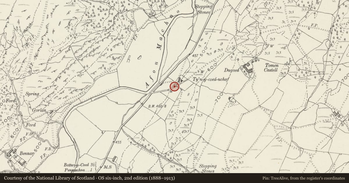
5 historical maps cover this location, the earliest the 1608 map "(13) Cambriae Typus." (David Rumsey Map Collection, Stanford Libraries).
Historical maps covering this location
- 1608 · (13) Cambriae Typus. (David Rumsey Map Collection, Stanford Libraries)
- 1795 · To Sir Watkin Williams-Wynn Bart ... the map of the six counties of North Wales is most… (Llyfrgell Genedlaethol Cymru – The National Library of Wales)
- 1830 · V.3:11-15:XV. Britisches Reich. A. Kon: England. b. Frstenthum Wales: Shire: 37-40 (David Rumsey Map Collection, Stanford Libraries)
- 1883 · Watershed map England, Wales 3. (David Rumsey Map Collection, Stanford Libraries)
- 1901 · Sheet 9 and 10. (David Rumsey Map Collection, Stanford Libraries)
Cadw's description
Location
To S of pigsties at Ty'n y Coed Uchaf Farmhouse.
History
Probably C19. Long clamp for storage of potatoes and other root crops produced at farm.
Exterior
Follows slope of ground aligned roughly NW-SE. Approximately 4m long and 1.5 m high. Walls of flat slate rubble continue up as roof with corbelled effect. Low doorway at lower end of clamp.
Reason for designation
Listed as rare surviving example of type.
Nearby in the register
- DugoedDomesticunder 1 mi
- YsgwyfraithDomesticunder 1 mi
- Bryn Eithin & attached Agricultural RangesDomesticunder 1 mi
- Iscoed CottageDomesticunder 1 mi
Other entries of the same register within about three miles of this one, by straight line.