Cof Cymru: National Historic Assets of Wales · Wales
Iscoed Cottage
Bro Machno, Conwy, Wales
A Grade II listed building in Penmachno Mill, Bro Machno, Conwy, designated on 13 October 1966.
The record
- Designation
- Listed building, Grade II
- Broad class
- Domestic
- Date of designation
- 13 October 1966
- Locality
- Penmachno Mill
- Community
- Bro Machno
- Unitary authority
- Conwy
- Country
- Wales
- Coordinates
- 53.05918, -3.78209
- Cadw reference
- 3574
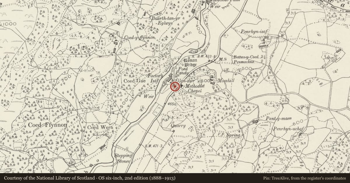
Slide toward Today to fade the historical sheet and see the modern map underneath.
David Rumsey Map Collection, Stanford LibrariesLlyfrgell Genedlaethol Cymru – The National Library of WalesDavid Rumsey Map Collection, Stanford LibrariesDavid Rumsey Map Collection, Stanford LibrariesDavid Rumsey Map Collection, Stanford Libraries
5 historical maps cover this location, the earliest the 1608 map "(13) Cambriae Typus." (David Rumsey Map Collection, Stanford Libraries).
Historical maps covering this location
- 1608 · (13) Cambriae Typus. (David Rumsey Map Collection, Stanford Libraries)
- 1795 · To Sir Watkin Williams-Wynn Bart ... the map of the six counties of North Wales is most… (Llyfrgell Genedlaethol Cymru – The National Library of Wales)
- 1830 · V.3:11-15:XV. Britisches Reich. A. Kon: England. b. Frstenthum Wales: Shire: 37-40 (David Rumsey Map Collection, Stanford Libraries)
- 1883 · Watershed map England, Wales 3. (David Rumsey Map Collection, Stanford Libraries)
- 1901 · Sheet 9 and 10. (David Rumsey Map Collection, Stanford Libraries)
Cadw's description
Location
On W corner of B 4406 and minor road leading to Penmachno woollen mill.
History
Early C19 former toll gate cottage.
Exterior
Single-storey plus loft, on plinth as ground falls to NW. Uncoursed rubble, slate roof (renovated November 1991), central rectangular stone chimney with water tabling. Two wooden casement windows face NE. NW gable end has small rectangular loft window, and on ground floor low outshot in local stone with brown brick dressings and lean-to slate roof. SW elevation has single casement window and low gabled addition with doorway. Gable end facing main road has single casement window.
Nearby in the register
- Pont y PandyTransportunder 1 mi
- Roman BridgeTransportunder 1 mi
- Roman Bridge PenmachnoBridgeunder 1 mi
- Coed-y-FfrnnonDomesticunder 1 mi
Other entries of the same register within about three miles of this one, by straight line.