Cof Cymru: National Historic Assets of Wales · Wales
Front garden walls and gatepiers at the Great House
Pendine, Carmarthenshire, Wales
A Grade II listed building in Pendine, Carmarthen, Carmarthenshire, designated on 4 December 2000.
The record
- Designation
- Listed building, Grade II
- Broad class
- Domestic
- Date of designation
- 4 December 2000
- Locality
- Pendine
- Town
- Carmarthen
- Community
- Pendine
- Unitary authority
- Carmarthenshire
- Country
- Wales
- Coordinates
- 51.74825, -4.56646
- Cadw reference
- 24446
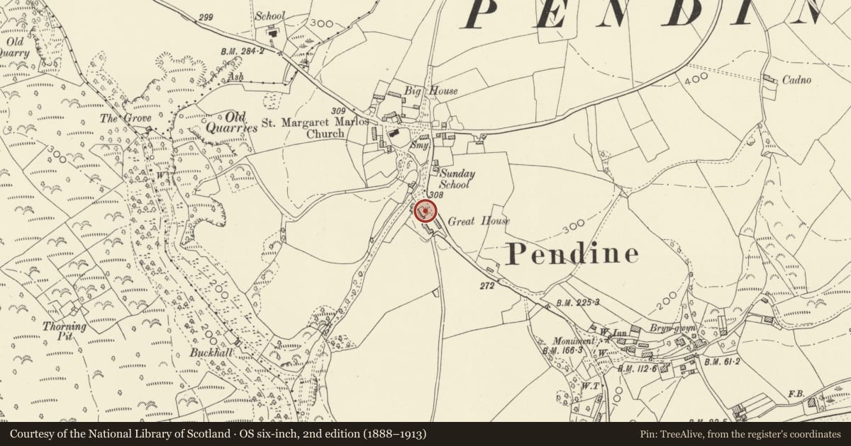
Slide toward Today to fade the historical sheet and see the modern map underneath.
David Rumsey Map Collection, Stanford LibrariesDavid Rumsey Map Collection, Stanford LibrariesDavid Rumsey Map Collection, Stanford LibrariesDavid Rumsey Map Collection, Stanford LibrariesDavid Rumsey Map Collection, Stanford Libraries
5 historical maps cover this location, the earliest the 1636 map "Cornubia : Devonia, Somersetus, Dorcestria, Wiltonia, Glocestria ..." (David Rumsey Map Collection, Stanford Libraries).
Historical maps covering this location
- 1636 · Cornubia : Devonia, Somersetus, Dorcestria, Wiltonia, Glocestria ... (David Rumsey Map Collection, Stanford Libraries)
- 1637 · The fourth table of England. Cornub. Devonia, Somerset etc. (David Rumsey Map Collection, Stanford Libraries)
- 1830 · V.3:11-15:XV. Britisches Reich. A. Kon: England. b. Frstenthum Wales: Shire: 37-40 (David Rumsey Map Collection, Stanford Libraries)
- 1891 · Sheet 10. Ordnance Survey of England and Wales. . (David Rumsey Map Collection, Stanford Libraries)
- 1898 · 229 Carmarthen (Hills) (David Rumsey Map Collection, Stanford Libraries)
Cadw's description
Location
Situated to the front and E of Great House. The house is some 200m S of the junction of the B4314 and a minor road to Marros.
History
Front garden walls and gates, probably early C18, to the Great House, a gentry house of the C17.
Exterior
Whitewashed rubble stone garden walls on 3 sides of farmhouse front garden. Blocked opening in N side wall, slightly lower S wall with opening. Chamfered NE corner.
Ornate centre entry with walls set back in short quadrant curves to very large rubble stone piers with corniced caps and big ball finials on concave pyramid bases. Inner face of each pier has raised stone gate stop.
Reason for designation
Included as an unusual formal front garden enclosure with massive gate piers.
Nearby in the register
- The Great House and attached outbuildingsDomesticunder 1 mi
- Outside Kitchen at the Great HouseDomesticunder 1 mi
- Church of St Margaret of AntiochReligious, Ritual and Funeraryunder 1 mi
- Lime Kiln on bank above Grove Caravan ParkIndustrialunder 1 mi
Other entries of the same register within about three miles of this one, by straight line.