Cof Cymru: National Historic Assets of Wales · Wales
Ty Pen Pownd at Museum of Welsh Woollen Industry
Llangeler, Carmarthenshire, Wales
A Grade II listed building in Drefach Felindre, Llandysul, Llangeler, Carmarthenshire, designated on 28 July 1999.
The record
- Designation
- Listed building, Grade II
- Broad class
- Industrial
- Date of designation
- 28 July 1999
- Locality
- Drefach Felindre
- Town
- Llandysul
- Community
- Llangeler
- Unitary authority
- Carmarthenshire
- Country
- Wales
- Coordinates
- 52.02563, -4.39918
- Cadw reference
- 22107
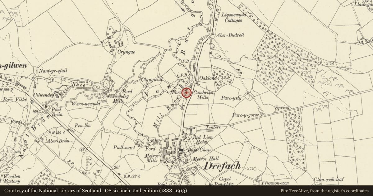
Slide toward Today to fade the historical sheet and see the modern map underneath.
David Rumsey Map Collection, Stanford LibrariesDavid Rumsey Map Collection, Stanford LibrariesDavid Rumsey Map Collection, Stanford LibrariesDavid Rumsey Map Collection, Stanford LibrariesDavid Rumsey Map Collection, Stanford Libraries
5 historical maps cover this location, the earliest the 1830 map "V.3:11-15:XV. Britisches Reich. A. Kon: England. b. Frstenthum Wales: Shire: 37-40" (David Rumsey Map Collection, Stanford Libraries).
Historical maps covering this location
- 1830 · V.3:11-15:XV. Britisches Reich. A. Kon: England. b. Frstenthum Wales: Shire: 37-40 (David Rumsey Map Collection, Stanford Libraries)
- 1860 · 41. Caermathen. (David Rumsey Map Collection, Stanford Libraries)
- 1891 · Sheet 10. Ordnance Survey of England and Wales. . (David Rumsey Map Collection, Stanford Libraries)
- 1898 · 211 Newcastle Emlyn (Hills) (David Rumsey Map Collection, Stanford Libraries)
- 1901 · Sheet 14. (David Rumsey Map Collection, Stanford Libraries)
Cadw's description
Location
Located between main building and offices at the museum site, partially built into slope.
History
Early C20 building, although more vernacular in style than other buildings on the site. Does not appear on 1906 Ordnance Survey map. Original use is unclear, but at one stage used for storage of dyes.
Exterior
Single storey building, possible dye store, in rubble stone with pitched slated roof and cast iron rainwater goods. S elevation has doorway to L with timber lintel. Rear (N) elevation has doorway to L, and slit vent to R. Gable end to yard has 2 small-paned windows of 12-panes with swivelling upper 3-pane with timber lintels and slate sills, as has gable end to offices.
Interior
Wooden roof trusses with low tie-beams whose ends are visible to exterior.
Reason for designation
Included for group value with other buildings on the site, as part of the well preserved complex at Cambrian Mill.
Nearby in the register
- Office Building at Museum of Welsh Woollen IndustryInstitutionalunder 1 mi
- Weaving Shed at Museum of Welsh Woollen IndustryIndustrialunder 1 mi
- Main Mill Building at Museum of the Welsh Woollen Industry.Industrialunder 1 mi
- LlwynbrainDomesticunder 1 mi
Other entries of the same register within about three miles of this one, by straight line.