Cof Cymru: National Historic Assets of Wales · Wales
Office Building at Museum of Welsh Woollen Industry
Llangeler, Carmarthenshire, Wales
A Grade II listed building in Drefach Felindre, Llandysul, Llangeler, Carmarthenshire, designated on 28 July 1999.
The record
- Designation
- Listed building, Grade II
- Broad class
- Institutional
- Date of designation
- 28 July 1999
- Locality
- Drefach Felindre
- Town
- Llandysul
- Community
- Llangeler
- Unitary authority
- Carmarthenshire
- Country
- Wales
- Coordinates
- 52.02545, -4.39904
- Cadw reference
- 22105
Slide toward Today to fade the historical sheet and see the modern map underneath.
David Rumsey Map Collection, Stanford LibrariesDavid Rumsey Map Collection, Stanford LibrariesDavid Rumsey Map Collection, Stanford LibrariesDavid Rumsey Map Collection, Stanford LibrariesDavid Rumsey Map Collection, Stanford Libraries
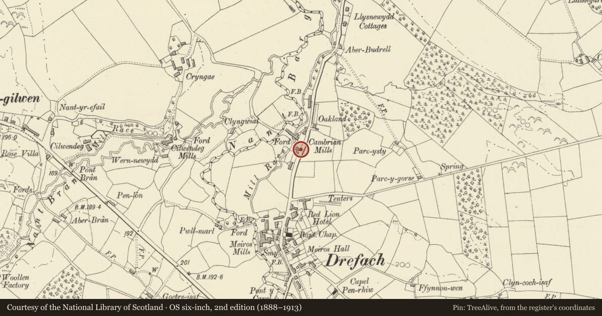
5 historical maps cover this location, the earliest the 1830 map "V.3:11-15:XV. Britisches Reich. A. Kon: England. b. Frstenthum Wales: Shire: 37-40" (David Rumsey Map Collection, Stanford Libraries).
Historical maps covering this location
- 1830 · V.3:11-15:XV. Britisches Reich. A. Kon: England. b. Frstenthum Wales: Shire: 37-40 (David Rumsey Map Collection, Stanford Libraries)
- 1860 · 41. Caermathen. (David Rumsey Map Collection, Stanford Libraries)
- 1891 · Sheet 10. Ordnance Survey of England and Wales. . (David Rumsey Map Collection, Stanford Libraries)
- 1898 · 211 Newcastle Emlyn (Hills) (David Rumsey Map Collection, Stanford Libraries)
- 1901 · Sheet 14. (David Rumsey Map Collection, Stanford Libraries)
Cadw's description
Location
Situated at SE corner of site, at present entrance to museum, with gable end to road.
History
Early C20, formerly offices to Cambrian Mills, with sewing room above, where smaller items were fashioned from cloth produced at the mills. Currently offices and cafe of Museum.
Exterior
Early C20 office building comprising 2 storey range with attic. Drydash rendered walls, timber framed sash windows with cambered heads, pitched slated roof with brick end stacks and cast iron rainwater goods. S elevation has 5 window range, 4-pane sashes to upper floor. Ground floor, from L, has modern door with glazed upper panel, 2 paired sashes, similar door, and matching paired sash. Gable to road has 2 paired sashes to each floor. Gable end to yard has 4-pane attic window, and also to 1st floor, offset to R. Ground floor has slate roofed canopy to former loading bay. 4-pane sash window to R. Rear (N) elevation has cast iron spiral staircase, and 5 timber framed 4-pane sash windows to each floor, far R window converted to door.
Interior
Interior of ground floor wholly altered as cafe and offices.
Reason for designation
Included as an integral part of the complex of buildings comprising the former Cambrian Mills.
Nearby in the register
- Ty Pen Pownd at Museum of Welsh Woollen IndustryIndustrialunder 1 mi
- Weaving Shed at Museum of Welsh Woollen IndustryIndustrialunder 1 mi
- Main Mill Building at Museum of the Welsh Woollen Industry.Industrialunder 1 mi
- LlwynbrainDomesticunder 1 mi
Other entries of the same register within about three miles of this one, by straight line.