Cof Cymru: National Historic Assets of Wales · Wales
Lon Goch
Botwnnog, Gwynedd, Wales
A Grade II listed building in Meyllteyrn, Pwllheli, Botwnnog, Gwynedd, designated on 11 February 1998.
The record
- Designation
- Listed building, Grade II
- Broad class
- Domestic
- Date of designation
- 11 February 1998
- Locality
- Meyllteyrn
- Town
- Pwllheli
- Community
- Botwnnog
- Unitary authority
- Gwynedd
- Country
- Wales
- Coordinates
- 52.86326, -4.59476
- Cadw reference
- 19337
Slide toward Today to fade the historical sheet and see the modern map underneath.
David Rumsey Map Collection, Stanford LibrariesDavid Rumsey Map Collection, Stanford LibrariesDavid Rumsey Map Collection, Stanford LibrariesDavid Rumsey Map Collection, Stanford LibrariesDavid Rumsey Map Collection, Stanford Libraries
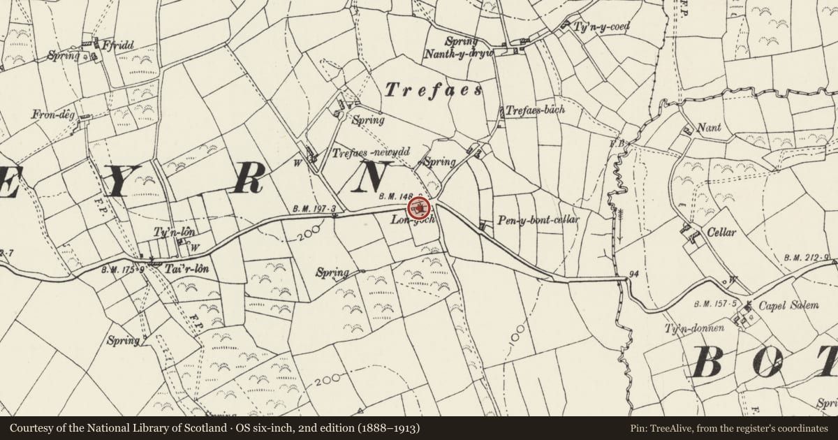
5 historical maps cover this location, the earliest the 1608 map "(13) Cambriae Typus." (David Rumsey Map Collection, Stanford Libraries).
Historical maps covering this location
- 1608 · (13) Cambriae Typus. (David Rumsey Map Collection, Stanford Libraries)
- 1830 · V.3:11-15:XV. Britisches Reich. A. Kon: England. b. Frstenthum Wales: Shire: 37-40 (David Rumsey Map Collection, Stanford Libraries)
- 1883 · Watershed map England, Wales 3. (David Rumsey Map Collection, Stanford Libraries)
- 1899 · 134 Pwllheli (Hills) (David Rumsey Map Collection, Stanford Libraries)
- 1901 · Sheet 9 and 10. (David Rumsey Map Collection, Stanford Libraries)
Cadw's description
Location
Approximately 1.69km E of Sarn Meyllteyrn to S of minor road, in a walled garden.
History
A small cottage probably dating from the earlier C19. Marked on the 1839 Tithe Map as owned and occupied by Mary Thomas.
Exterior
A two-storey, double-fronted cottage. Rendered stone, with slate roof; end stacks, caps have plain oversailing course and water tabling at base. Ground floor has off-centre gabled porch with batten door, flanked on either side by 12-pane hornless sashes with two corresponding 9-pane sashes at first floor level. Windows have thin slate sills and flat heads. Rendered lean-to (former cow shed) at S gable-end. Rear gable wing has S facing C20 porch, adjoining W front has small 4-pane sash with horns on ground floor, with tiny single-pane stair light in centre of upper wall.
Interior
Passage to central stair at back, with kitchen/living room opening off to left, and parlour right.
Reason for designation
A well-preserved example of a traditionally constructed small vernacular house of a type once common but now rare in the region.
Nearby in the register
- PenrhosDomesticunder 1 mi
- Church of St BeunoReligious, Ritual and Funeraryunder 1 mi
- Old SchoolEducationunder 1 mi
- Efail Pont y GofDomesticunder 1 mi
Other entries of the same register within about three miles of this one, by straight line.