Cof Cymru: National Historic Assets of Wales · Wales
Pontfaen Cottage
Llanfair Clydogau, Ceredigion, Wales
A Grade II listed building in Cellan, Lampeter, Llanfair Clydogau, Ceredigion, designated on 11 August 1997.
The record
- Designation
- Listed building, Grade II
- Broad class
- Domestic
- Date of designation
- 11 August 1997
- Locality
- Cellan
- Town
- Lampeter
- Community
- Llanfair Clydogau
- Unitary authority
- Ceredigion
- Country
- Wales
- Coordinates
- 52.12354, -4.03461
- Cadw reference
- 18760
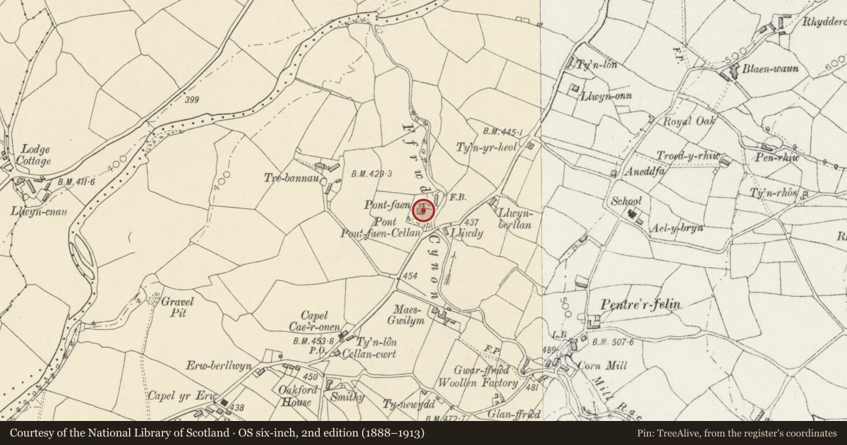
Slide toward Today to fade the historical sheet and see the modern map underneath.
David Rumsey Map Collection, Stanford LibrariesDavid Rumsey Map Collection, Stanford LibrariesDavid Rumsey Map Collection, Stanford LibrariesDavid Rumsey Map Collection, Stanford LibrariesDavid Rumsey Map Collection, Stanford Libraries
5 historical maps cover this location, the earliest the 1608 map "(13) Cambriae Typus." (David Rumsey Map Collection, Stanford Libraries).
Historical maps covering this location
- 1608 · (13) Cambriae Typus. (David Rumsey Map Collection, Stanford Libraries)
- 1830 · V.3:11-15:XV. Britisches Reich. A. Kon: England. b. Frstenthum Wales: Shire: 37-40 (David Rumsey Map Collection, Stanford Libraries)
- 1899 · 195 Lampeter (Hills) (David Rumsey Map Collection, Stanford Libraries)
- 1901 · Sheet 14. (David Rumsey Map Collection, Stanford Libraries)
- 1919 · Sheet 78. Lampeter. (David Rumsey Map Collection, Stanford Libraries)
Cadw's description
Location
Situated some 500m NE of Cellan village, on N side of B 4343.
History
Probably early C19, the earliest part of a three stage house, called Pontfaen, now divided into three. Nythfa, listed separately is a mid C19 addition to right of Pontfaen Cottage. Marked on 1843 Tithe Map.
Exterior
Whitewashed roughcast with slate roof and end stacks, rendered to left, larger, in rubble stone with stone tabling, to right, on party wall with Nythfa. Two-storey, four-window range. C20 casements half-glazed early C19 door in second bay, 9-pane with 2 fielded panels. Stone sills.
Reason for designation
A good traditional house, in late Georgian style. Group value with Nythfa, the two formerly being part of the same house.
Nearby in the register
- NythfaDomesticunder 1 mi
- Glanffrwd MillNo class recordedunder 1 mi
- Mill House at Glanffrwd MillNo class recordedunder 1 mi
- DyffrynNo class recordedunder 1 mi
Other entries of the same register within about three miles of this one, by straight line.