Cof Cymru: National Historic Assets of Wales · Wales
Dyffryn
Llanfair Clydogau, Ceredigion, Wales
A Grade II listed building in Pentrefelin, Llanfair Clydogau, Ceredigion, designated on 8 March 2021.
The record
- Designation
- Listed building, Grade II
- Broad class
- No class recorded
- Date of designation
- 8 March 2021
- Locality
- Pentrefelin
- Community
- Llanfair Clydogau
- Unitary authority
- Ceredigion
- Country
- Wales
- Coordinates
- 52.12075, -4.03055
- Cadw reference
- 87825
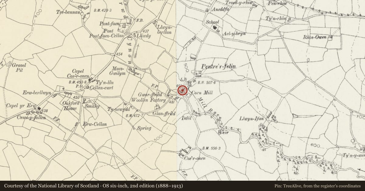
Slide toward Today to fade the historical sheet and see the modern map underneath.
David Rumsey Map Collection, Stanford LibrariesDavid Rumsey Map Collection, Stanford LibrariesDavid Rumsey Map Collection, Stanford LibrariesDavid Rumsey Map Collection, Stanford LibrariesDavid Rumsey Map Collection, Stanford Libraries
5 historical maps cover this location, the earliest the 1608 map "(13) Cambriae Typus." (David Rumsey Map Collection, Stanford Libraries).
Historical maps covering this location
- 1608 · (13) Cambriae Typus. (David Rumsey Map Collection, Stanford Libraries)
- 1830 · V.3:11-15:XV. Britisches Reich. A. Kon: England. b. Frstenthum Wales: Shire: 37-40 (David Rumsey Map Collection, Stanford Libraries)
- 1899 · 195 Lampeter (Hills) (David Rumsey Map Collection, Stanford Libraries)
- 1901 · Sheet 14. (David Rumsey Map Collection, Stanford Libraries)
- 1919 · Sheet 78. Lampeter. (David Rumsey Map Collection, Stanford Libraries)
Cadw's description
Location
Just E of the bridge in Pentrefelin, opposite Riverside Mill, and attached to Penpompren on the S side, on the N side of a minor road from Cellan to Pentrefelin, approximately 0.5km E of Cellan.
History
Later than the adjoining Penpompren but marked on the 1887 OS map. It is said to have been remodelled c1907, and was restored in the early C21.
Exterior
A 2-storey 2-window cottage of rubble stone under renewed slate roof with brick stacks. Openings have red-brick heads and have renewed 4-pane horned sash windows. The front faces NW, away from the road, and is set back from and lower than the adjoining Penpompren. There is a boarded door the L and 2-light casement to its R. Upper-storey 4-pane horned sashes are not in line with the lower-storey windows. The rear, facing the road, has 2 4-pane sash windows in each storey.
Interior
Not inspected.
Reason for designation
Listed as one of a pair of cottages retaining early-C20 character, and for group value with Pentrefelin Cottage, Glanffrwd Mill and Mill House.
Nearby in the register
- PenpomprenNo class recordedunder 1 mi
- Pentrefelin CottageDomesticunder 1 mi
- Glanffrwd MillNo class recordedunder 1 mi
- Mill House at Glanffrwd MillNo class recordedunder 1 mi
Other entries of the same register within about three miles of this one, by straight line.