Cof Cymru: National Historic Assets of Wales · Wales
64 Newport Road
Adamsdown, Cardiff, Wales
A Grade II listed building in Adamsdown, Cardiff, designated on 31 July 1997.
The record
- Designation
- Listed building, Grade II
- Broad class
- Commercial
- Date of designation
- 31 July 1997
- Community
- Adamsdown
- Unitary authority
- Cardiff
- Country
- Wales
- Coordinates
- 51.48634, -3.16077
- Cadw reference
- 18645
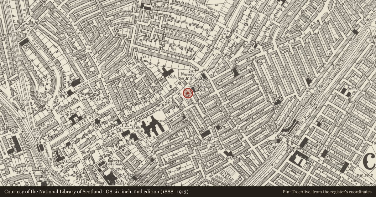
Slide toward Today to fade the historical sheet and see the modern map underneath.
David Rumsey Map Collection, Stanford LibrariesDavid Rumsey Map Collection, Stanford LibrariesDavid Rumsey Map Collection, Stanford LibrariesDavid Rumsey Map Collection, Stanford LibrariesDavid Rumsey Map Collection, Stanford Libraries
5 historical maps cover this location, the earliest the 1636 map "Cornubia : Devonia, Somersetus, Dorcestria, Wiltonia, Glocestria ..." (David Rumsey Map Collection, Stanford Libraries).
Historical maps covering this location
- 1636 · Cornubia : Devonia, Somersetus, Dorcestria, Wiltonia, Glocestria ... (David Rumsey Map Collection, Stanford Libraries)
- 1865 · England and Wales. England No. 6. (David Rumsey Map Collection, Stanford Libraries)
- 1895 · Sheet 11. Ordnance Survey of England and Wales. (David Rumsey Map Collection, Stanford Libraries)
- 1898 · 263 Cardiff (Hills) (David Rumsey Map Collection, Stanford Libraries)
- 1913 · Sheet 110. Cardiff & Mouth of the Severn. (David Rumsey Map Collection, Stanford Libraries)
Cadw's description
Location
On W corner of Newport Road and Piercefield Place.
History
Former bank, dated 1902.
Exterior
Former bank. Two-and-a-half storeys. French Renaissance style. Pennant stone with extensive bathstone facings. Slate Mansard roof, elaborate bathstone chimneys. Bathstone cornice. Front block has splayed corner entrance and 3 windows to Newport Road, one window to Piercefield Place (L). Corner has attic aedicule with segmental pediment and round window; single first floor window, entrance has open pediment on brackets high above pilasters flanking round-headed doorway with keystone. Gabled dormers to attic, parapet, first floor windows have bathstone aprons with volutes. Ground floor faced with channelled bathstone, tripartite sashes with Doric pillar mullions. To Piercefield Place 2 single-window blocks in same style each block set back. Narrower block to rear has hooded doorway.
Reason for designation
Listed for group value with other adjacent buildings in Newport Road/ Piercefield Place.
Nearby in the register
- Trinity Methodist ChurchReligious, Ritual and Funeraryunder 1 mi
- Elms CentreReligious, Ritual and Funeraryunder 1 mi
- Mile Stone at LibraryTransportunder 1 mi
- Roath Branch LibraryEducationunder 1 mi
Other entries of the same register within about three miles of this one, by straight line.