Cof Cymru: National Historic Assets of Wales · Wales
Poplar House
Offa, Wrexham, Wales
A Grade II listed building in Offa, Wrexham, designated on 19 April 1989.
The record
- Designation
- Listed building, Grade II
- Broad class
- Domestic
- Date of designation
- 19 April 1989
- Date of amendment
- 29 October 2020
- Community
- Offa
- Unitary authority
- Wrexham
- Country
- Wales
- Coordinates
- 53.04183, -2.99349
- Cadw reference
- 1796
Slide toward Today to fade the historical sheet and see the modern map underneath.
David Rumsey Map Collection, Stanford LibrariesDavid Rumsey Map Collection, Stanford LibrariesDavid Rumsey Map Collection, Stanford LibrariesDavid Rumsey Map Collection, Stanford LibrariesDavid Rumsey Map Collection, Stanford Libraries
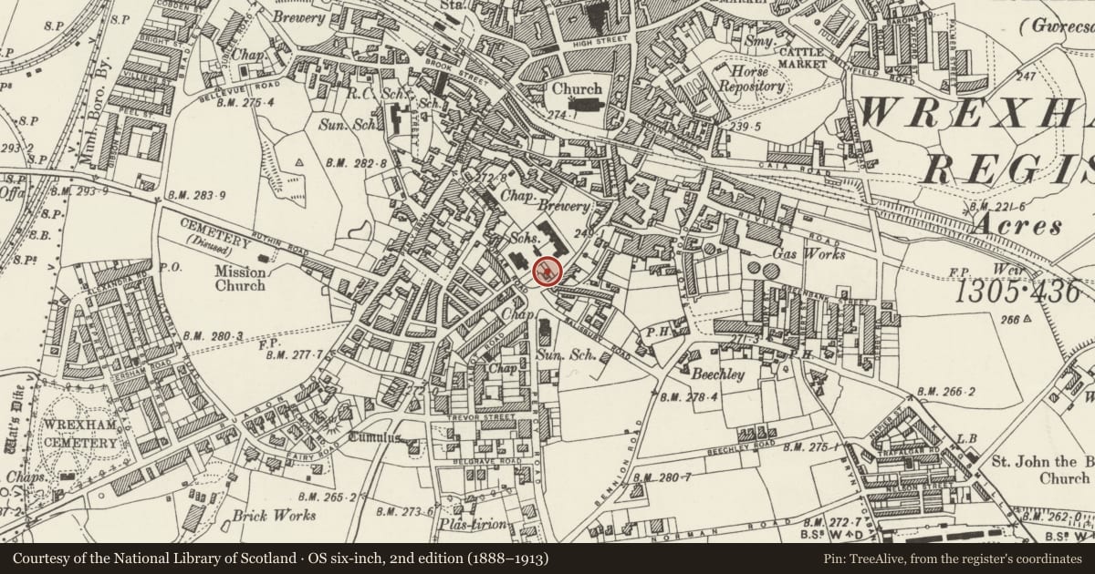
5 historical maps cover this location, the earliest the 1608 map "(13) Cambriae Typus." (David Rumsey Map Collection, Stanford Libraries).
Historical maps covering this location
- 1608 · (13) Cambriae Typus. (David Rumsey Map Collection, Stanford Libraries)
- 1883 · Watershed map England, Wales 3. (David Rumsey Map Collection, Stanford Libraries)
- 1898 · 121 Wrexham (Hills) (David Rumsey Map Collection, Stanford Libraries)
- 1898 · 121 Wrexham (Outline) (David Rumsey Map Collection, Stanford Libraries)
- 1901 · Sheet 9 and 10. (David Rumsey Map Collection, Stanford Libraries)
Cadw's description
Location
In open ground adjoining Saint Giles School and close to junction of Madeira Hill and Poplar Road.
History
Detached early C19 house. Originally known as 'Poplar Cottage', and according to Palmer, built between 1817-1824.
Exterior
Brick with rubble rear wall and slate roof. 3 storeys, symmetrical 3-window range entrance front with central doorway. Doorcase with pediment carried on brackets, and overlight to door. Flanking windows have painted stone flat arched heads, apparently sashes but boarded over. Window to left of doorway has been partially blocked and widenened. Similar windows on upper storeys, with 8-pane sashes to attic storey. Dentilled eaves cornice. End wallstacks, truncated. Brick rear wing is a latter addition.
Nearby in the register
- Gate Piers and Boundary Wall to No.1Domesticunder 1 mi
- 1 Salisbury RoadDomesticunder 1 mi
- 3 Salisbury RoadDomesticunder 1 mi
- 5 Salisbury RoadDomesticunder 1 mi
Other entries of the same register within about three miles of this one, by straight line.