Cof Cymru: National Historic Assets of Wales · Wales
Gate Piers and Boundary Wall to No.1
Offa, Wrexham, Wales
A Grade II listed building in Offa, Wrexham, designated on 16 June 1980.
The record
- Designation
- Listed building, Grade II
- Broad class
- Domestic
- Date of designation
- 16 June 1980
- Community
- Offa
- Unitary authority
- Wrexham
- Country
- Wales
- Coordinates
- 53.04149, -2.99356
- Cadw reference
- 1811
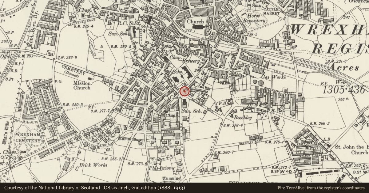
Slide toward Today to fade the historical sheet and see the modern map underneath.
David Rumsey Map Collection, Stanford LibrariesDavid Rumsey Map Collection, Stanford LibrariesDavid Rumsey Map Collection, Stanford LibrariesDavid Rumsey Map Collection, Stanford LibrariesDavid Rumsey Map Collection, Stanford Libraries
5 historical maps cover this location, the earliest the 1608 map "(13) Cambriae Typus." (David Rumsey Map Collection, Stanford Libraries).
Historical maps covering this location
- 1608 · (13) Cambriae Typus. (David Rumsey Map Collection, Stanford Libraries)
- 1883 · Watershed map England, Wales 3. (David Rumsey Map Collection, Stanford Libraries)
- 1898 · 121 Wrexham (Hills) (David Rumsey Map Collection, Stanford Libraries)
- 1898 · 121 Wrexham (Outline) (David Rumsey Map Collection, Stanford Libraries)
- 1901 · Sheet 9 and 10. (David Rumsey Map Collection, Stanford Libraries)
Cadw's description
Location
Forms the front boundary to Nos 1-5, parallel with Salisbury Road.
Exterior
Boundary wall and gate piers, designed as an intergral part of the terrace, mid-C19. Roughly coursed rubble in large blocks with rustic embattled copings, and ashlar gate piers with recessed panels and half-cylinder caps.
Reason for designation
An important detail of the original design for the terrace, of a type which has not survived.
Nearby in the register
- 1 Salisbury RoadDomesticunder 1 mi
- 3 Salisbury RoadDomesticunder 1 mi
- Gate Piers and Boundary wall to No 5Domesticunder 1 mi
- Poplar HouseDomesticunder 1 mi
Other entries of the same register within about three miles of this one, by straight line.