Cof Cymru: National Historic Assets of Wales · Wales
Embassey Public House
Offa, Wrexham, Wales
A Grade II listed building in Offa, Wrexham, designated on 31 January 1994.
The record
- Designation
- Listed building, Grade II
- Broad class
- Commercial
- Date of designation
- 31 January 1994
- Community
- Offa
- Unitary authority
- Wrexham
- Country
- Wales
- Coordinates
- 53.04484, -2.99244
- Cadw reference
- 1789
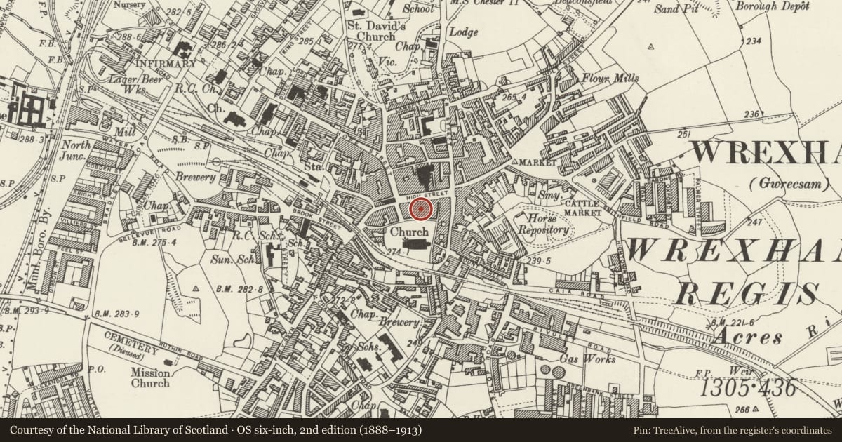
Slide toward Today to fade the historical sheet and see the modern map underneath.
David Rumsey Map Collection, Stanford LibrariesDavid Rumsey Map Collection, Stanford LibrariesDavid Rumsey Map Collection, Stanford LibrariesDavid Rumsey Map Collection, Stanford LibrariesDavid Rumsey Map Collection, Stanford Libraries
5 historical maps cover this location, the earliest the 1608 map "(13) Cambriae Typus." (David Rumsey Map Collection, Stanford Libraries).
Historical maps covering this location
- 1608 · (13) Cambriae Typus. (David Rumsey Map Collection, Stanford Libraries)
- 1883 · Watershed map England, Wales 3. (David Rumsey Map Collection, Stanford Libraries)
- 1898 · 121 Wrexham (Hills) (David Rumsey Map Collection, Stanford Libraries)
- 1898 · 121 Wrexham (Outline) (David Rumsey Map Collection, Stanford Libraries)
- 1901 · Sheet 9 and 10. (David Rumsey Map Collection, Stanford Libraries)
Cadw's description
Location
Part of a continuously developed building line on the south side of High Street, between Nos 33 and 36-37.
History
Public House. Built c1912-13, replacing an earlier timber framed building.
Exterior
Mock timberwork with roughcast panel infill, and red sandstone lower storey. 3 storeys, single window range, with gable facing street. Projecting canted entrance porch at right hand corner, with mullioned overlight and sidelights to doorway across angle. Continuous fenestration, comprising 3 paired mullioned lights with leading to the left. Oriel window to first floor, and jettied upper storey with 3-light casement window. Fretted bargeboards with finial to gable.
Reason for designation
Included for group value, as part of an important group of buildings on High Street.
Nearby in the register
- 37 High StreetDomesticunder 1 mi
- 36 High StreetCommercialunder 1 mi
- 31 High StreetCommercialunder 1 mi
- 33 High StreetCommercialunder 1 mi
Other entries of the same register within about three miles of this one, by straight line.