Cof Cymru: National Historic Assets of Wales · Wales
Retaining walls, gates and piers to Broneirion
Llandinam, Powys, Wales
A Grade II listed building in Llandinam, Powys, designated on 26 November 1996.
The record
- Designation
- Listed building, Grade II
- Broad class
- Domestic
- Date of designation
- 26 November 1996
- Locality
- Llandinam
- Community
- Llandinam
- Unitary authority
- Powys
- Country
- Wales
- Coordinates
- 52.48690, -3.44200
- Cadw reference
- 17776
Slide toward Today to fade the historical sheet and see the modern map underneath.
David Rumsey Map Collection, Stanford LibrariesDavid Rumsey Map Collection, Stanford LibrariesDavid Rumsey Map Collection, Stanford LibrariesDavid Rumsey Map Collection, Stanford LibrariesDavid Rumsey Map Collection, Stanford Libraries
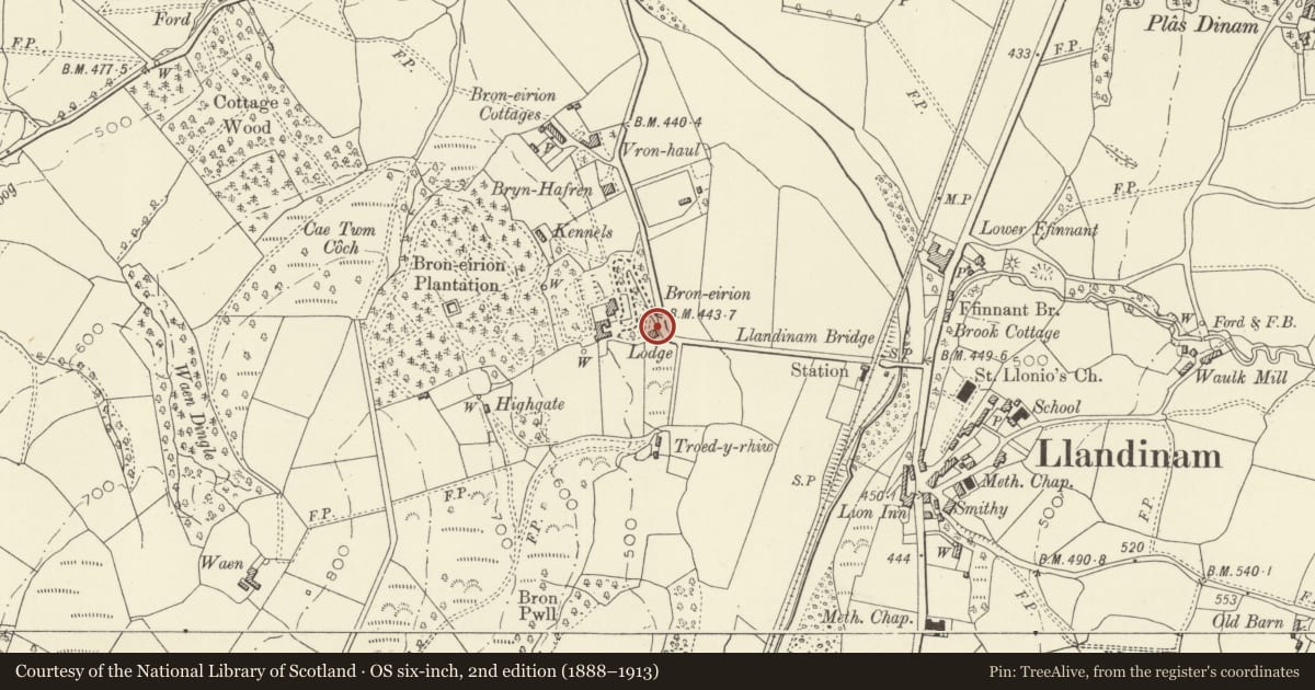
5 historical maps cover this location, the earliest the 1608 map "(13) Cambriae Typus." (David Rumsey Map Collection, Stanford Libraries).
Historical maps covering this location
- 1608 · (13) Cambriae Typus. (David Rumsey Map Collection, Stanford Libraries)
- 1637 · Particular description of Wales. Cambria seu Wallia (David Rumsey Map Collection, Stanford Libraries)
- 1883 · Watershed map England, Wales 3. (David Rumsey Map Collection, Stanford Libraries)
- 1899 · 164 Llanidloes (Hills) (David Rumsey Map Collection, Stanford Libraries)
- 1901 · Sheet 14. (David Rumsey Map Collection, Stanford Libraries)
Cadw's description
Location
Located in front of the lodge at the bottom of the driveway leading up to Broneirion, 350m approximately across the Severn from the village centre.
Exterior
Walls of rock-faced ashlar greywacke, with limestone ashlar gatepiers at right angles with cast iron gate forming the retaining wall to Broneirion Lodge, and gate to the driveway to the house. The gatepiers, of c.1865-70, have re-entrant corners, each side terminating in a gable with trefoil finial set over a stiff-leaf enriched cavetto moulding. The piers rise to an angled finial with an angled shield on each of four faces. Each has moulded arrises, and carved palmette band with the initials DD. The pier on the W is double, forming the terminus of the curved retaining wall for the Lodge, which is capped by cast iron railings. The iron gates have dog rails and a perforated top band, with acanthus leaves as small crestings.
Reason for designation
Included as unaltered and of special interest in relation to the house built by David Davies, and of group value with the Lodge.
Nearby in the register
- Broneirion LodgeDomesticunder 1 mi
- BroneirionDomesticunder 1 mi
- Llandinam BridgeTransportunder 1 mi
- Statue and pedestal, to David Davies of LlandinamCommemorativeunder 1 mi
Other entries of the same register within about three miles of this one, by straight line.