Cof Cymru: National Historic Assets of Wales · Wales
Milestone outside School
Llanarth, Ceredigion, Wales
A Grade II listed building in Llanarth, Ceredigion, designated on 16 February 1996.
The record
- Designation
- Listed building, Grade II
- Broad class
- Transport
- Date of designation
- 16 February 1996
- Locality
- Llanarth
- Community
- Llanarth
- Unitary authority
- Ceredigion
- Country
- Wales
- Coordinates
- 52.19237, -4.31065
- Cadw reference
- 17723
Slide toward Today to fade the historical sheet and see the modern map underneath.
David Rumsey Map Collection, Stanford LibrariesDavid Rumsey Map Collection, Stanford LibrariesDavid Rumsey Map Collection, Stanford LibrariesDavid Rumsey Map Collection, Stanford LibrariesDavid Rumsey Map Collection, Stanford Libraries
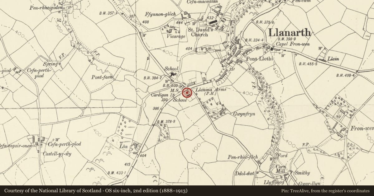
5 historical maps cover this location, the earliest the 1608 map "(13) Cambriae Typus." (David Rumsey Map Collection, Stanford Libraries).
Historical maps covering this location
- 1608 · (13) Cambriae Typus. (David Rumsey Map Collection, Stanford Libraries)
- 1830 · V.3:11-15:XV. Britisches Reich. A. Kon: England. b. Frstenthum Wales: Shire: 37-40 (David Rumsey Map Collection, Stanford Libraries)
- 1899 · 194 Llangranog (Hills) (David Rumsey Map Collection, Stanford Libraries)
- 1901 · Sheet 14. (David Rumsey Map Collection, Stanford Libraries)
- 1919 · Sheet 78. Lampeter. (David Rumsey Map Collection, Stanford Libraries)
Cadw's description
Location
Situated on S side of A 487 just W of Llanarth Primary School.
History
Early C19 milestone on Cardigan to Aberystwyth road. Turnpike Trust formed 1770. Similar stones from Aberaeron to Cardigan.
Exterior
Whitewashed stone milestone inscribed : "TO CARDIGAN 18 MILES".
Reason for designation
Included as relic of transport history.
Nearby in the register
- Llanarth VillaDomesticunder 1 mi
- Former National SchoolEducationunder 1 mi
- AuroraDomesticunder 1 mi
- HafanDomesticunder 1 mi
Other entries of the same register within about three miles of this one, by straight line.