Cof Cymru: National Historic Assets of Wales · Wales
Milestone at Glascoed
Kerry, Powys, Wales
A Grade II listed building in Dolfor, Newtown, Kerry, Powys, designated on 12 September 1996.
The record
- Designation
- Listed building, Grade II
- Broad class
- Transport
- Date of designation
- 12 September 1996
- Locality
- Dolfor
- Town
- Newtown
- Community
- Kerry
- Unitary authority
- Powys
- Country
- Wales
- Coordinates
- 52.48348, -3.34250
- Cadw reference
- 17286
Slide toward Today to fade the historical sheet and see the modern map underneath.
David Rumsey Map Collection, Stanford LibrariesDavid Rumsey Map Collection, Stanford LibrariesDavid Rumsey Map Collection, Stanford LibrariesDavid Rumsey Map Collection, Stanford LibrariesDavid Rumsey Map Collection, Stanford Libraries
5 historical maps cover this location, the earliest the 1608 map "(13) Cambriae Typus." (David Rumsey Map Collection, Stanford Libraries).
Historical maps covering this location
- 1608 · (13) Cambriae Typus. (David Rumsey Map Collection, Stanford Libraries)
- 1637 · Particular description of Wales. Cambria seu Wallia (David Rumsey Map Collection, Stanford Libraries)
- 1830 · V.3:11-15:XV. Britisches Reich. A. Kon: England. b. Frstenthum Wales: Shire: 37-40 (David Rumsey Map Collection, Stanford Libraries)
- 1883 · Watershed map England, Wales 3. (David Rumsey Map Collection, Stanford Libraries)
- 1901 · Sheet 14. (David Rumsey Map Collection, Stanford Libraries)
Cadw's description
Location
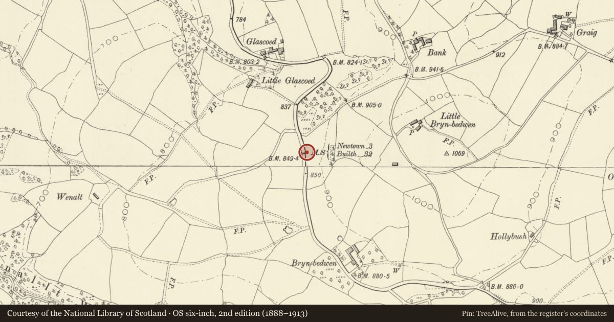
Located in the road verge near the sharp bend at Glascoed.
Exterior
Milestone of c1821, comprising a thin slate slab with square top, inscribed Newtown/3 Miles/Builth/32.
Reason for designation
Included as the only surviving milestone erected in or shortly after 1823 on the new Dolfor to Llandrindod road by William Pugh of Brynllywarch, the local entrepreneur and philanthropist.
Nearby in the register
- Neuadd Goch Castle MoundMotteunder 1 mi
- The Rock, with attached cow houseDomestic1 mi
- All Saints ChurchReligious, Ritual and Funerary1 mi
- Castell-y-Dail FarmhouseDomestic1 mi
Other entries of the same register within about three miles of this one, by straight line.