Cof Cymru: National Historic Assets of Wales · Wales
White Cottage
Overton, Wrexham, Wales
A Grade II listed building in Overton, Wrexham, designated on 16 November 1962.
The record
- Designation
- Listed building, Grade II
- Broad class
- Domestic
- Date of designation
- 16 November 1962
- Community
- Overton
- Unitary authority
- Wrexham
- Country
- Wales
- Coordinates
- 52.97061, -2.93480
- Cadw reference
- 1682
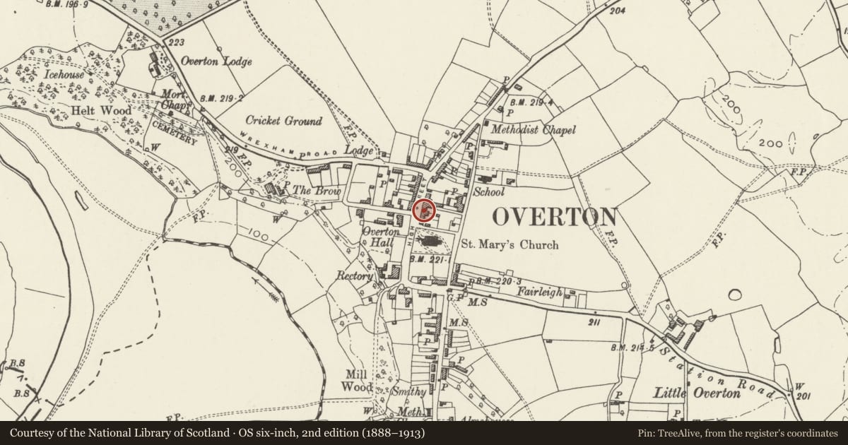
Slide toward Today to fade the historical sheet and see the modern map underneath.
David Rumsey Map Collection, Stanford LibrariesDavid Rumsey Map Collection, Stanford LibrariesDavid Rumsey Map Collection, Stanford LibrariesDavid Rumsey Map Collection, Stanford LibrariesDavid Rumsey Map Collection, Stanford Libraries
5 historical maps cover this location, the earliest the 1608 map "(13) Cambriae Typus." (David Rumsey Map Collection, Stanford Libraries).
Historical maps covering this location
- 1608 · (13) Cambriae Typus. (David Rumsey Map Collection, Stanford Libraries)
- 1637 · Particular description of Wales. Cambria seu Wallia (David Rumsey Map Collection, Stanford Libraries)
- 1830 · V.3:11-15:XV.Britisches Reich. A. Kon: England. a. England ab sich: Shire:15-17, 33 (David Rumsey Map Collection, Stanford Libraries)
- 1883 · Watershed map England, Wales 3. (David Rumsey Map Collection, Stanford Libraries)
- 1901 · Sheet 9 and 10. (David Rumsey Map Collection, Stanford Libraries)
Cadw's description
Location
Between the White Horse Public House and Nos.17-18.
History
Small house, dated 1739, but probably representing the partial rebuilding of an earlier building.
Exterior
Painted brick with plain tiled roof. One and a half storeys, 2-unit plan with central entrance backing onto stack. Flanking windows are 9-pane flush framed sashes with moulded keystones (one of which carries the date) in cambered heads. Gabled dormers above with horizontal sliding sash windows. Plain moulded eaves.
Reason for designation
A good example of an early C18 vernacular building, probably incorporating elements of an earlier structure, which forms part of an important group of buildings on High Street.
Nearby in the register
- 18 High StreetCommercialunder 1 mi
- White Horse Public HouseCommercialunder 1 mi
- 17 High StreetCommercialunder 1 mi
- Metcalfe BuildingCommercialunder 1 mi
Other entries of the same register within about three miles of this one, by straight line.