Cof Cymru: National Historic Assets of Wales · Wales
4 Church Street
Offa, Wrexham, Wales
A Grade II listed building in Offa, Wrexham, designated on 16 June 1980.
The record
- Designation
- Listed building, Grade II
- Broad class
- Domestic
- Date of designation
- 16 June 1980
- Community
- Offa
- Unitary authority
- Wrexham
- Country
- Wales
- Coordinates
- 53.04472, -2.99290
- Cadw reference
- 16476
Slide toward Today to fade the historical sheet and see the modern map underneath.
David Rumsey Map Collection, Stanford LibrariesDavid Rumsey Map Collection, Stanford LibrariesDavid Rumsey Map Collection, Stanford LibrariesDavid Rumsey Map Collection, Stanford LibrariesDavid Rumsey Map Collection, Stanford Libraries
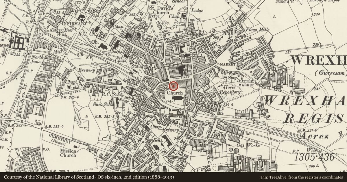
5 historical maps cover this location, the earliest the 1608 map "(13) Cambriae Typus." (David Rumsey Map Collection, Stanford Libraries).
Historical maps covering this location
- 1608 · (13) Cambriae Typus. (David Rumsey Map Collection, Stanford Libraries)
- 1883 · Watershed map England, Wales 3. (David Rumsey Map Collection, Stanford Libraries)
- 1898 · 121 Wrexham (Hills) (David Rumsey Map Collection, Stanford Libraries)
- 1898 · 121 Wrexham (Outline) (David Rumsey Map Collection, Stanford Libraries)
- 1901 · Sheet 9 and 10. (David Rumsey Map Collection, Stanford Libraries)
Cadw's description
Location
On the corner of Church Street and Temple Row.
History
C17 core to a largely mid C18 structure, rebuilt as 2 houses and shops by Samuel Edwards in 1757 (Palmer), and then including No 6 Temple Row.
Exterior
Lined out render over brick, incorporating elements of a timber framed structure, and with slate roof. 2 storeys with attic, 4 window range. No 3 retains an early C19 shop front with doorway to left and bow window with small panes beneath continuous fascia with heavily scrolled brackets; inserted late C20 shop front to No 4. 4-pane sashes with flat arched stuccoed heads with voussoirs and painted stone sills to upper storey, and 3 gabled dormers in the roof. Rusticated angle quoins. Axial stack, and a C19 or early C20 stack added or replaced on gable facing Temple Row. Tripartite window to first floor in this gable return. Timber framing in square panels visible in side and internal partition walls of No 3.
Reason for designation
The property is connected at first floor level with No 6 Temple Row, with which it is historically linked.
Group value.
Nearby in the register
- 3 Church StreetDomesticunder 1 mi
- 6 Temple RowDomesticunder 1 mi
- St. Giles' Churchyard GatesReligious, Ritual and Funeraryunder 1 mi
- Wrexham Churchyard Ornamental Wrought Iron Gates and ScreenGateunder 1 mi
Other entries of the same register within about three miles of this one, by straight line.