Cof Cymru: National Historic Assets of Wales · Wales
6 Temple Row
Offa, Wrexham, Wales
A Grade II listed building in Offa, Wrexham, designated on 16 June 1980.
The record
- Designation
- Listed building, Grade II
- Broad class
- Domestic
- Date of designation
- 16 June 1980
- Community
- Offa
- Unitary authority
- Wrexham
- Country
- Wales
- Coordinates
- 53.04475, -2.99277
- Cadw reference
- 1815
Slide toward Today to fade the historical sheet and see the modern map underneath.
David Rumsey Map Collection, Stanford LibrariesDavid Rumsey Map Collection, Stanford LibrariesDavid Rumsey Map Collection, Stanford LibrariesDavid Rumsey Map Collection, Stanford LibrariesDavid Rumsey Map Collection, Stanford Libraries
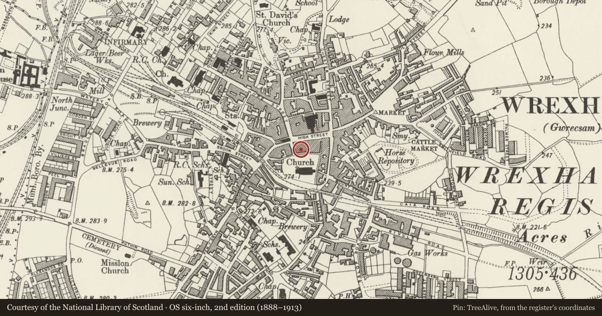
5 historical maps cover this location, the earliest the 1608 map "(13) Cambriae Typus." (David Rumsey Map Collection, Stanford Libraries).
Historical maps covering this location
- 1608 · (13) Cambriae Typus. (David Rumsey Map Collection, Stanford Libraries)
- 1883 · Watershed map England, Wales 3. (David Rumsey Map Collection, Stanford Libraries)
- 1898 · 121 Wrexham (Hills) (David Rumsey Map Collection, Stanford Libraries)
- 1898 · 121 Wrexham (Outline) (David Rumsey Map Collection, Stanford Libraries)
- 1901 · Sheet 9 and 10. (David Rumsey Map Collection, Stanford Libraries)
Cadw's description
Location
Part of an irregular terrace of buildings bordering Saint Giles' churchyard, and enclosing the rear of plots of buildings on High Street.
History
House, now in use as shop, and originally forming part of 3-4 Church Street, to which it is still linked at first floor level. Built or rebuilt as part of that property in 1757 by Samuel Edwards.
Exterior
Lined out render, probably over brick with slate roof. 2 storeys, 2 window range with renewed or inserted doorway to the right, and inserted shop front to the left, with 2-light casement window above. 3-light casement window in centre on each floor, and datestone with initials E over S.M. Plain eaves band. Stack on right hand gable. Interior plan modified, but retaining C18 staircase with turned balusters.
Nearby in the register
- 4 Church StreetDomesticunder 1 mi
- 3 Church StreetDomesticunder 1 mi
- 41 High StreetCommercialunder 1 mi
- 37 High StreetDomesticunder 1 mi
Other entries of the same register within about three miles of this one, by straight line.